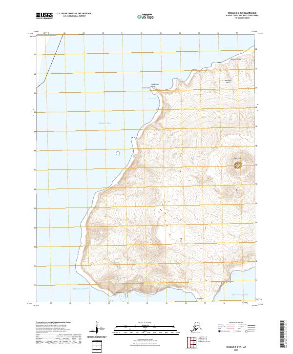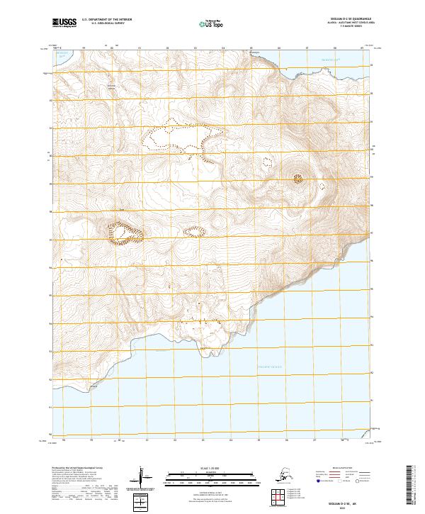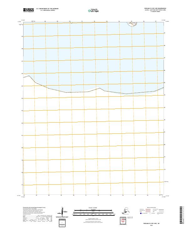
2021 Map of Seguam D-2 OE S NW
USGS Topo · Published 2021About this map
Pacific Ocean waters dominate this maritime survey, illustrating the isolated character of the central Aleutian Islands chain. The map focuses on a segment of open water south of the volcanic peaks of Seguam Island, serving primarily as a navigational and hydrographic record of the North Pacific. While landmasses are nearly absent, the sheet delineates the Public Land Survey System grids for t91s r165w and t91s r164w, projecting terrestrial administrative boundaries across the sea. It provides a technical look at the vast oceanic expanse that separates the remote outposts of the Aleutians West Census Area.
Find a feature on this map
4 named features on this map. Tap any name to fly to it.
Don’t see what you’re looking for? This feature index may not catch every label — zoom into the map to look around manually.
Map Details
Editions of this 2021 Seguam D-2 OE S NW Map
This is the sole edition of this map. No revisions or reprints were ever made.