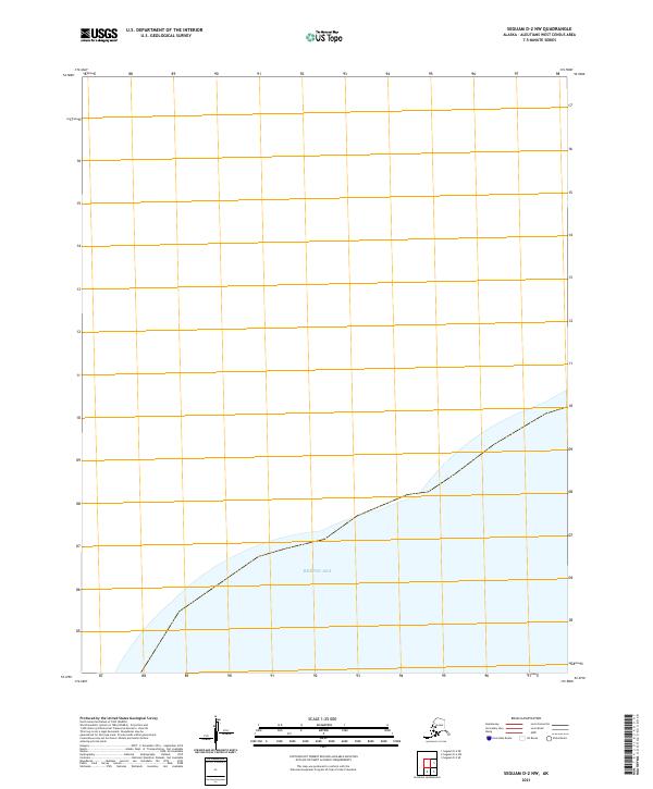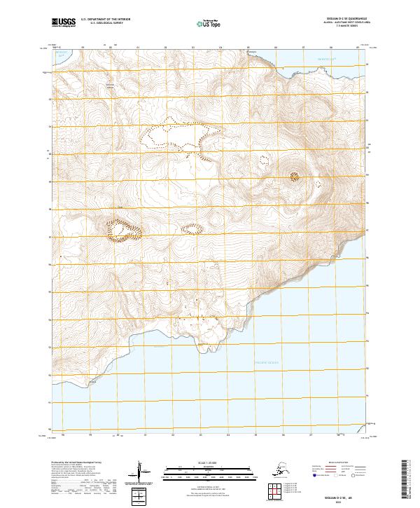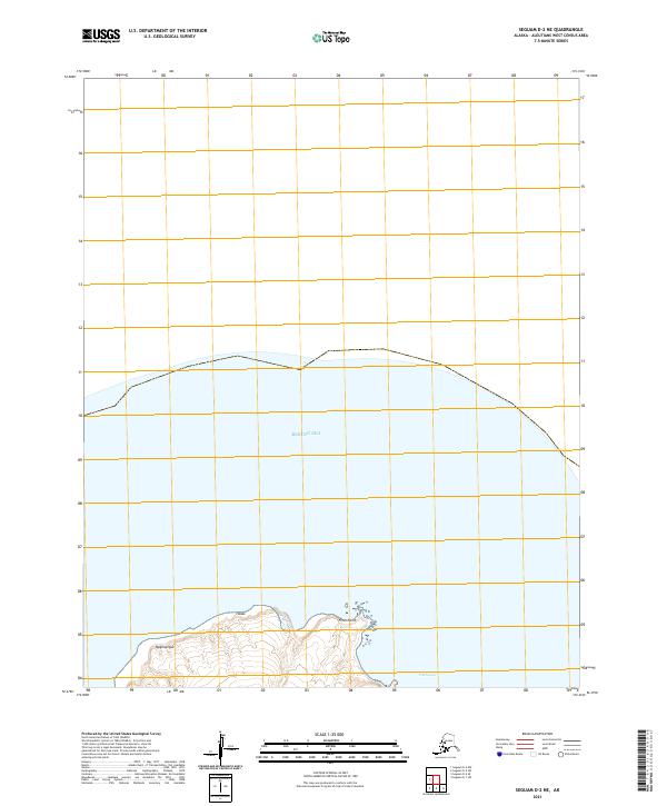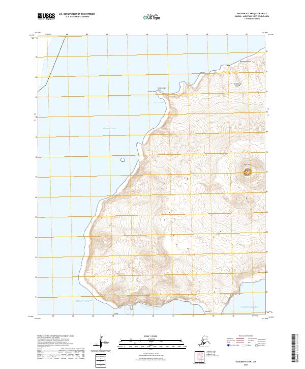
2021 Map of Seguam D-2 SW
USGS Topo · Published 2021About this map
Pyre Peak dominates the landscape of this volcanic island within the Andreanof Islands chain. The 2021 survey illustrates a sharp topographical divide between the northern coast bordering the Bering Sea and the southern reaches meeting the Pacific Ocean. Key coastal landmarks include Saddleridge Point and the nearby Camel Islet, marking a transition toward the sheltered waters of Asagam Udaa. Further east, the terrain rises toward Qagangligudax, while Turf Point anchors the southern coastline. This map provides a contemporary record of the landforms and maritime boundaries in this remote portion of the Aleutians West Census Area, capturing the precise elevation contours and shoreline features of the island as they exist today.
Find a feature on this map
13 named features on this map. Tap any name to fly to it.
Don’t see what you’re looking for? This feature index may not catch every label — zoom into the map to look around manually.
Map Details
Editions of this 2021 Seguam D-2 SW Map
This is the sole edition of this map. No revisions or reprints were ever made.