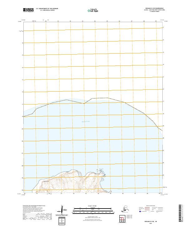
2021 Map of Seguam D-2 NE
USGS Topo · Published 2021About this map
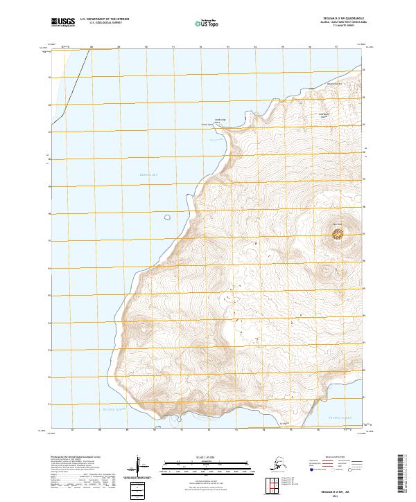
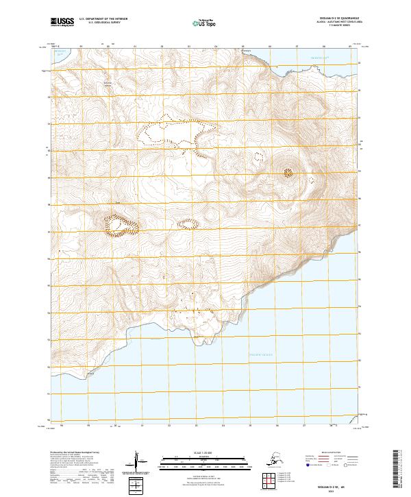
Finch Point and the neighboring waters of Finch Cove define the southern shoreline of this remote Aleutian island territory. This modern survey illustrates the coastal interface between the high volcanic terrain of Qagangilqux and Hadas and the expansive Bering Sea to the north. While the landscape lacks human settlements or infrastructure, the naming of these specific points and peaks provides essential geographic markers for maritime navigation and indigenous place-name preservation in the Aleutians West Census Area. The map highlights the rugged maritime environment where steep landforms meet the cold subarctic waters, as documented by the U.S. Geological Survey in the early 21st century.
Find a feature on this map
7 named features on this map. Tap any name to fly to it.
Don’t see what you’re looking for? This feature index may not catch every label — zoom into the map to look around manually.
Map Details
Editions of this 2021 Seguam D-2 NE Map
This is the sole edition of this map. No revisions or reprints were ever made.