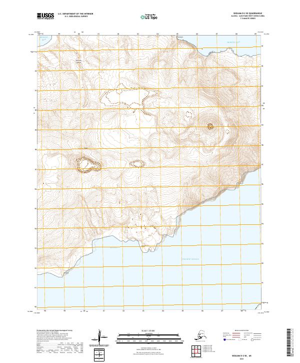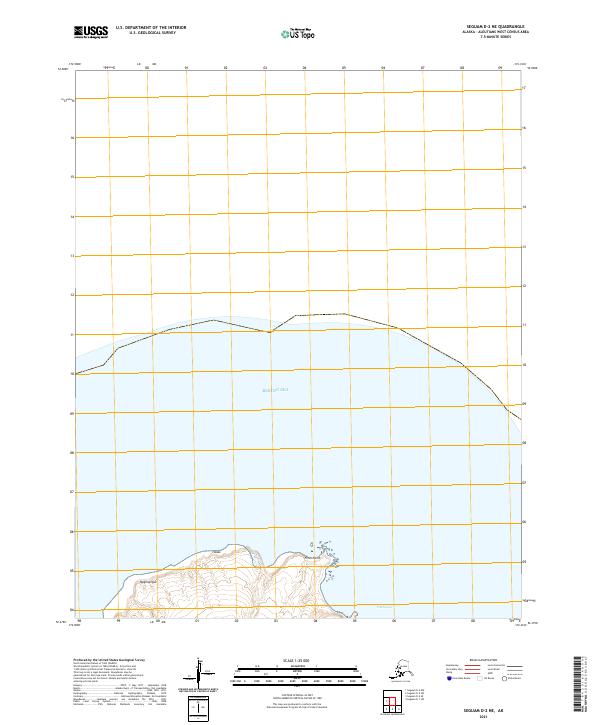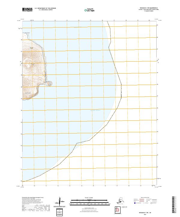
2021 Map of Seguam D-1 SW
USGS Topo · Published 2021About this map
Seguam Island sits at a critical maritime junction where the Bering Sea meets the Pacific Ocean within the Andreanof Islands chain. This 2021 topographic survey provides an exacting look at the volcanic shoreline of the eastern end of the island, part of the larger Aleutian Islands archipelago. The map documents two prominent coastal landmarks: Wharf Point on the northern coast and Moundhill Point further south, both essential navigation markers in these often-turbulent waters. The sharp contrast between the steep, high-elevation contours of the island's interior and the surrounding deep-water depths illustrates the dramatic geography of this volcanic arc. This map is a vital resource for maritime historians and geographers interested in the contemporary topography of one of Alaska's most westerly landmasses.
Find a feature on this map
10 named features on this map. Tap any name to fly to it.
Don’t see what you’re looking for? This feature index may not catch every label — zoom into the map to look around manually.
Map Details
Editions of this 2021 Seguam D-1 SW Map
This is the sole edition of this map. No revisions or reprints were ever made.