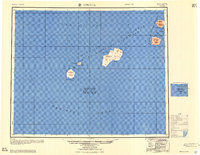
1951 Map of Amukta
USGS Topo · Published 1958About this map
Yunaska Island and the neighboring peaks of the Islands of the Four Mountains rise from the volatile intersection of the Bering Sea and the Pacific Ocean. Compiled from surveys conducted between 1933 and 1943, this chart documents the isolated volcanic landmasses of the Aleutian chain before mid-century. While largely uninhabited, the presence of a cabin near Crater Anchorage on Yunaska Island indicates a human footprint in an otherwise maritime landscape. Navigation and shelter are critical themes, evidenced by the identification of Traders Cove on Amukta Island and South Anchorage. The map details the treacherous waterways between the islands, including Amukta Pass and Chagulak Pass, serving as a vital record of this remote maritime frontier during the early years of the Cold War era.
Find a feature on this map
29 named features on this map. Tap any name to fly to it.
Don’t see what you’re looking for? This feature index may not catch every label — zoom into the map to look around manually.
Map Details
Editions of this 1951 Amukta Map
5 editions found
Other maps of this area

1951 · Amukta
USGS Topo · 1:250,000

1951 · Seguam
USGS Topo · 1:250,000

1951 · Samalga Island
USGS Topo · 1:250,000

1951 · Umnak
USGS Topo · 1:250,000

1958 · Samalga Island
USGS Topo · 1:250,000

1958 · Umnak
USGS Topo · 1:250,000

1958 · Seguam
USGS Topo · 1:250,000
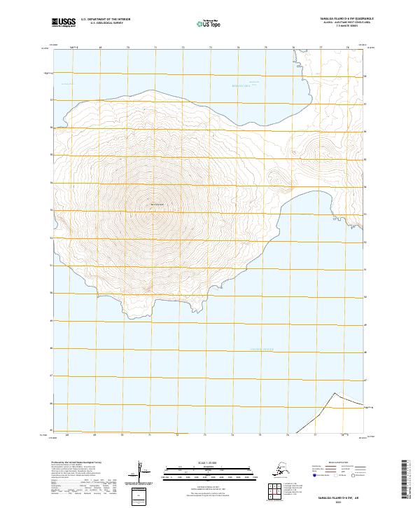
2021 · Samalga Island D-6 SW
USGS Topo · 1:25,000
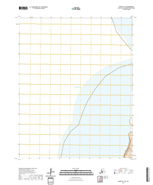
2021 · Amukta D-1 SW
USGS Topo · 1:25,000
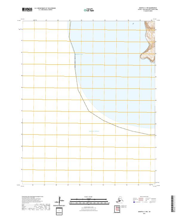
2021 · Amukta C-1 NW
USGS Topo · 1:25,000