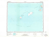
1951 Map of Amukta
USGS Topo · Published 1970About this map
The Aleutian Islands chain reaches across the boundary of the Bering Sea and the Pacific Ocean in this mid-century reconnaissance. The survey focuses on a remote volcanic archipelago, highlighting the Islands of the Four Mountains and the larger landmasses of Yunaska Island and Amukta Island. These isolated peaks are connected by deep maritime passages like Amukta Pass and Chagulak Pass, which defined the navigational routes of the era.
Find a feature on this map
30 named features on this map. Tap any name to fly to it.
Don’t see what you’re looking for? This feature index may not catch every label — zoom into the map to look around manually.
Map Details
Editions of this 1951 Amukta Map
5 editions found
Other maps of this area

1951 · Amukta
USGS Topo · 1:250,000

1951 · Seguam
USGS Topo · 1:250,000

1951 · Samalga Island
USGS Topo · 1:250,000

1951 · Umnak
USGS Topo · 1:250,000

1958 · Samalga Island
USGS Topo · 1:250,000

1958 · Umnak
USGS Topo · 1:250,000

1958 · Seguam
USGS Topo · 1:250,000
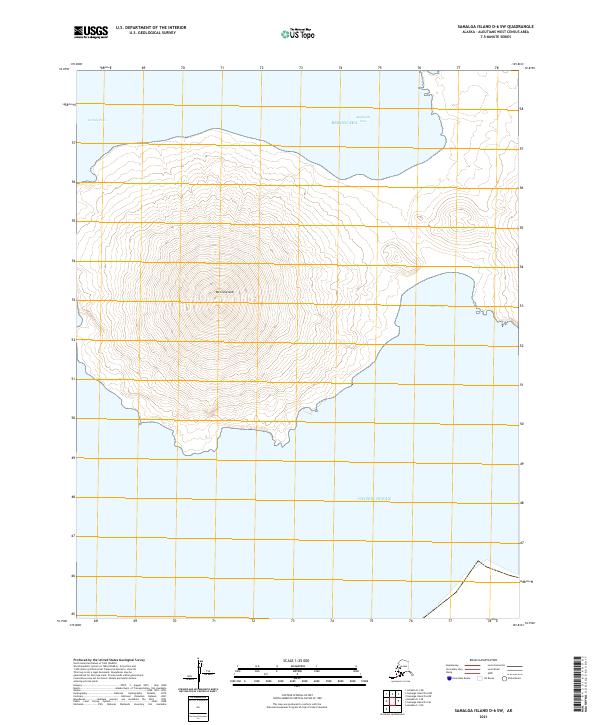
2021 · Samalga Island D-6 SW
USGS Topo · 1:25,000
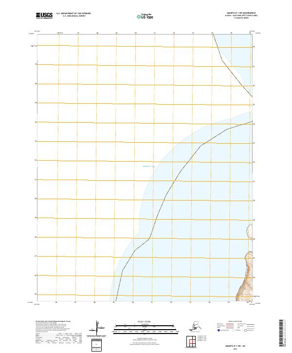
2021 · Amukta D-1 SW
USGS Topo · 1:25,000
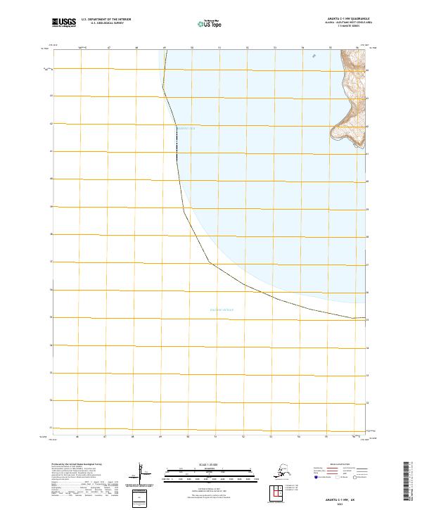
2021 · Amukta C-1 NW
USGS Topo · 1:25,000