
2012 Map of Anacapa Island OE E
USGS Topo · Published 2012About this map
East Anacapa Island anchors the southwestern corner of this 2012 marine and island survey, serving as a critical navigation point within the Santa Barbara Channel. The map emphasizes the distinct isolation of the island's easternmost extremity, where the iconic Anacapa Island Light stands atop the cliffs to guide vessels through the often-treacherous coastal waters.
Find a feature on this map
6 named features on this map. Tap any name to fly to it.
Don’t see what you’re looking for? This feature index may not catch every label — zoom into the map to look around manually.
Map Details
Editions of this 2012 Anacapa Island OE E Map
This is the sole edition of this map. No revisions or reprints were ever made.
Other maps of this area

1904 · Hueneme
USGS Topo · 1:62,500

1942 · Hueneme
USGS Topo · 1:62,500

1943 · Hueneme
USGS Topo · 1:62,500

1949 · Los Angeles
USGS Topo · 1:250,000

1949 · Long Beach
USGS Topo · 1:250,000

1949 · Oxnard
USGS Topo · 1:24,000
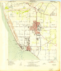
1951 · Oxnard
USGS Topo · 1:24,000

1955 · Los Angeles
USGS Topo · 1:250,000

1957 · Long Beach
USGS Topo · 1:250,000

1958 · Long Beach
USGS Topo · 1:250,000