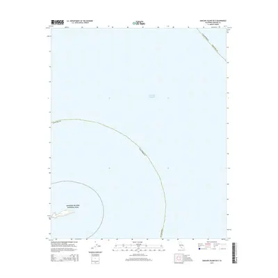
2015 Map of Anacapa Island OE E
USGS Topo · Published 2015About this map
Channel Islands National Park occupies the southwestern corner of this coastal survey, highlighting the delicate land-sea boundary of Southern California. The map primarily documents the vast expanse of the Pacific Ocean surrounding the eastern reaches of the archipelago. As a 2015 update, it records the maritime administrative limits of Ventura Co and California, providing a modern geospatial record of these protected waters. The sparse terrestrial data reflects the remote nature of these islands, which remain vital ecological preserves under federal management within the Channel Islands National Park system.
Find a feature on this map
4 named features on this map. Tap any name to fly to it.
Don’t see what you’re looking for? This feature index may not catch every label — zoom into the map to look around manually.
Map Details
Editions of this 2015 Anacapa Island OE E Map
This is the sole edition of this map. No revisions or reprints were ever made.
Other maps of this area

1904 · Hueneme
USGS Topo · 1:62,500

1942 · Hueneme
USGS Topo · 1:62,500

1943 · Hueneme
USGS Topo · 1:62,500

1949 · Los Angeles
USGS Topo · 1:250,000

1949 · Long Beach
USGS Topo · 1:250,000

1949 · Oxnard
USGS Topo · 1:24,000
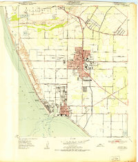
1951 · Oxnard
USGS Topo · 1:24,000

1955 · Los Angeles
USGS Topo · 1:250,000

1957 · Long Beach
USGS Topo · 1:250,000

1958 · Long Beach
USGS Topo · 1:250,000