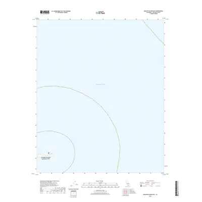
2018 Map of Anacapa Island OE E
USGS Topo · Published 2018About this map
The Pacific Ocean dominates this maritime survey, illustrating the isolated position of the easternmost reach of the Channel Islands chain in 2018. A small, rocky outcropping within the Channel Islands National Park is the only terrestrial feature shown, situated in the southwest corner of the sheet. The map serves primarily as a nautical reference for the waters surrounding these protected islands, where steep bathymetric contours drop away from the shoreline into the open sea. This perspective emphasizes the importance of the park's marine boundaries and the maritime environment that separates the islands from the California mainland of Ventura County.
Find a feature on this map
2 named features on this map. Tap any name to fly to it.
Don’t see what you’re looking for? This feature index may not catch every label — zoom into the map to look around manually.
Map Details
Editions of this 2018 Anacapa Island OE E Map
This is the sole edition of this map. No revisions or reprints were ever made.
Other maps of this area

1904 · Hueneme
USGS Topo · 1:62,500

1942 · Hueneme
USGS Topo · 1:62,500

1943 · Hueneme
USGS Topo · 1:62,500

1949 · Los Angeles
USGS Topo · 1:250,000

1949 · Long Beach
USGS Topo · 1:250,000

1949 · Oxnard
USGS Topo · 1:24,000
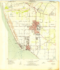
1951 · Oxnard
USGS Topo · 1:24,000

1955 · Los Angeles
USGS Topo · 1:250,000

1957 · Long Beach
USGS Topo · 1:250,000

1958 · Long Beach
USGS Topo · 1:250,000