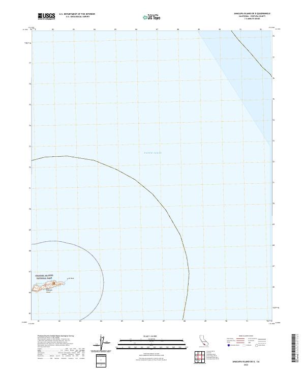
2022 Map of Anacapa Island OE E
USGS Topo · Published 2022About this map
East Anacapa Island anchors the southwestern corner of this survey, representing a remote outpost within the Channel Islands National Park. This volcanic islet, surrounded by the Pacific Ocean, is characterized by its dramatic maritime boundaries and protected coastal features. Notable landmarks include the distinctive Arch Rock and the sheltered waters of Cathedral Cove. The presence of the Overlook Trl suggests a landscape managed for conservation and limited human access, providing a rare look at the island's topography in the early 2020s. Most of the map area is dedicated to the open sea, emphasizing the isolation of this part of Ventura County and the critical role of these islands as ecological preserves.
Find a feature on this map
6 named features on this map. Tap any name to fly to it.
Don’t see what you’re looking for? This feature index may not catch every label — zoom into the map to look around manually.
Map Details
Editions of this 2022 Anacapa Island OE E Map
This is the sole edition of this map. No revisions or reprints were ever made.
Other maps of this area

1904 · Hueneme
USGS Topo · 1:62,500

1942 · Hueneme
USGS Topo · 1:62,500

1943 · Hueneme
USGS Topo · 1:62,500

1949 · Los Angeles
USGS Topo · 1:250,000

1949 · Long Beach
USGS Topo · 1:250,000

1949 · Oxnard
USGS Topo · 1:24,000
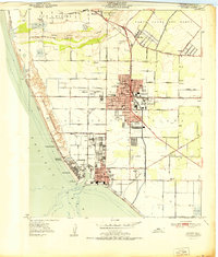
1951 · Oxnard
USGS Topo · 1:24,000

1955 · Los Angeles
USGS Topo · 1:250,000

1957 · Long Beach
USGS Topo · 1:250,000

1958 · Long Beach
USGS Topo · 1:250,000