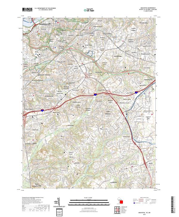
2023 Map of Anacostia
USGS Topo · Published 2023About this map
The Anacostia River flows through the northwest corner of this sheet, serving as the historical backdrop for the Frederick Douglass National Historic Site and the established neighborhoods of Anacostia and Washington. The landscape transitions from the urban density of the District into the residential and military hubs of Maryland, where Joint Base Andrews dominates the southeastern quadrant. This modern mapping captures the dense network of roadways like the Capital Beltway and Suitland Pkwy that link these communities.
Find a feature on this map
128 named features on this map. Tap any name to fly to it.
Don’t see what you’re looking for? This feature index may not catch every label — zoom into the map to look around manually.
Map Details
Editions of this 2023 Anacostia Map
This is the sole edition of this map. No revisions or reprints were ever made.
Historical Maps of Coral Hills Through Time
12 maps found

1945 Washington West
District of Columbia

1951 Washington West
District of Columbia

1956 Washington West
District of Columbia
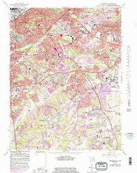
1965 Anacostia
District of Columbia
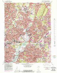
1965 Washington East
District of Columbia
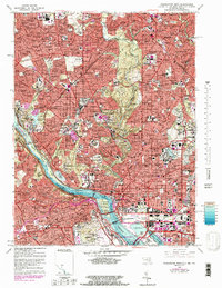
1965 Washington West
District of Columbia

1982 Washington West
District of Columbia
1983 Washington East
District of Columbia

1986 Washington West
District of Columbia
2023 Anacostia
District of Columbia
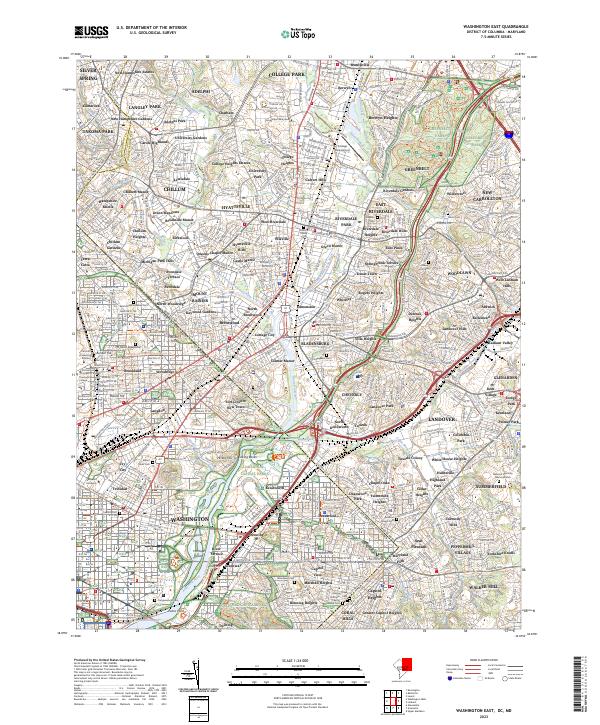
2023 Washington East
District of Columbia
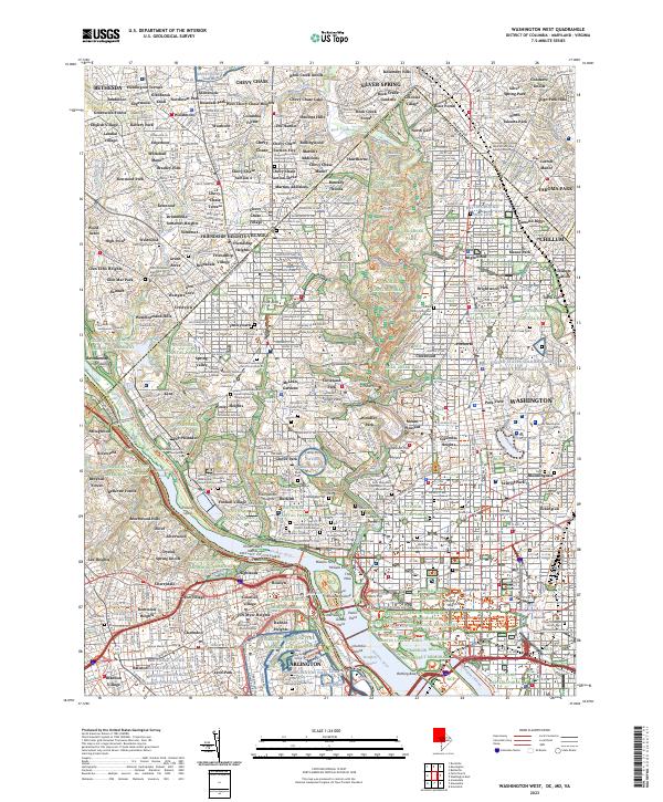
2023 Washington West
District of Columbia