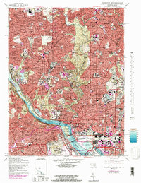
1965 Map of Washington West
USGS Topo · Published 1983About this map
Washington and its northwestern suburbs appear here in a period of significant urban density and development, reflecting the mid-century character of the capital and northern Virginia. The Potomac River serves as the central geographic anchor, winding past Georgetown and the Lincoln Memorial before opening into the Tidal Basin. Across the water in Virginia, the structured grounds of Arlington National Cemetery and Fort Myer sit adjacent to growing residential hubs like Rosslyn and Clarendon.
Find a feature on this map
50 named features on this map. Tap any name to fly to it.
Don’t see what you’re looking for? This feature index may not catch every label — zoom into the map to look around manually.
Map Details
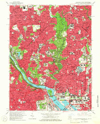
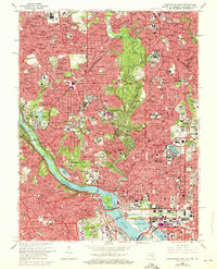
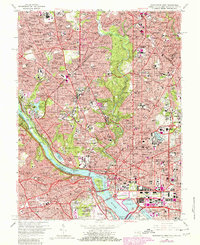
Editions of this 1965 Washington West Map
4 editions found
Other maps of this area

1890 · Mt. Vernon
USGS Topo · 1:125,000

1891 · Mt. Vernon
USGS Topo · 1:125,000

1892 · Laurel
USGS Topo · 1:62,500

1893 · Frederick
USGS Topo · 1:125,000

1894 · Laurel
USGS Topo · 1:62,500

1894 · Frederick
USGS Topo · 1:125,000

1894 · Mt. Vernon
USGS Topo · 1:125,000

1897 · Laurel
USGS Topo · 1:62,500

1897 · Mt. Vernon
USGS Topo · 1:125,000

1899 · Patuxent
USGS Topo · 1:125,000