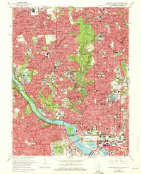
1965 Map of Washington West
USGS Topo · Published 1971About this map
The Potomac River carves through the heart of this mid-century capital landscape, separating the dense urban grid of the District of Columbia from the expanding suburbs of Northern Virginia and Southern Maryland. The 1971 purple revisions highlight the ongoing intensification of the federal core, including significant structural changes around The Mall and the Tidal Basin. To the west, the winding corridor of the C & O Canal and the George Washington Memorial Parkway trace the river's edge past The Palisades. This period shows the District at a peak of institutional density, featuring the massive footprints of the National Institutes of Health and Walter Reed Army Medical Center alongside established residential enclaves like Cleveland Park, Chevy Chase, and Georgetown. The map provides a detailed view of the city's academic and spiritual geography, from the Washington Cathedral to the campuses of Howard University and American University.
Find a feature on this map
227 named features on this map. Tap any name to fly to it.
Don’t see what you’re looking for? This feature index may not catch every label — zoom into the map to look around manually.
Map Details
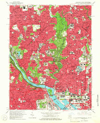
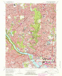
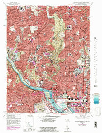
Editions of this 1965 Washington West Map
4 editions found
Other maps of this area

1890 · Mt. Vernon
USGS Topo · 1:125,000

1891 · Mt. Vernon
USGS Topo · 1:125,000

1892 · Laurel
USGS Topo · 1:62,500

1893 · Frederick
USGS Topo · 1:125,000

1894 · Laurel
USGS Topo · 1:62,500

1894 · Frederick
USGS Topo · 1:125,000

1894 · Mt. Vernon
USGS Topo · 1:125,000

1897 · Laurel
USGS Topo · 1:62,500

1897 · Mt. Vernon
USGS Topo · 1:125,000

1899 · Patuxent
USGS Topo · 1:125,000