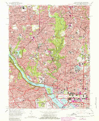
1965 Map of Washington West
USGS Topo · Published 1980About this map
Arlington National Cemetery and the monumental core of the nation's capital dominate this 1965 survey, updated in 1980. The map reveals the intricate urban fabric of the District of Columbia and adjacent Virginia, showing a landscape defined by power and education. Prominent institutional campuses like Georgetown University, American University, and Howard University are mapped alongside the National Zoological Park and the sprawling greenery of Rock Creek Park.
Find a feature on this map
102 named features on this map. Tap any name to fly to it.
Don’t see what you’re looking for? This feature index may not catch every label — zoom into the map to look around manually.
Map Details
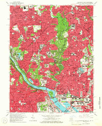
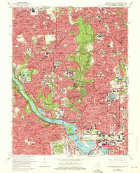
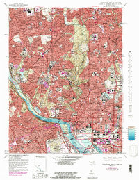
Editions of this 1965 Washington West Map
4 editions found
Other maps of this area

1890 · Mt. Vernon
USGS Topo · 1:125,000

1891 · Mt. Vernon
USGS Topo · 1:125,000

1892 · Laurel
USGS Topo · 1:62,500

1893 · Frederick
USGS Topo · 1:125,000

1894 · Laurel
USGS Topo · 1:62,500

1894 · Frederick
USGS Topo · 1:125,000

1894 · Mt. Vernon
USGS Topo · 1:125,000

1897 · Laurel
USGS Topo · 1:62,500

1897 · Mt. Vernon
USGS Topo · 1:125,000

1899 · Patuxent
USGS Topo · 1:125,000