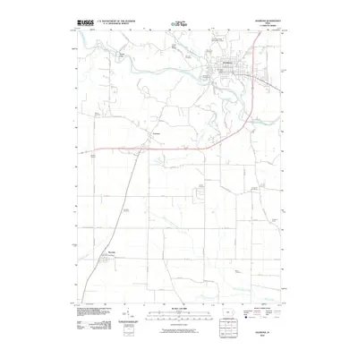
2010 Map of Anamosa
USGS Topo · Published 2010About this map
Anamosa serves as the focal point of this Jones County survey, situated where Buffalo Creek joins the winding Wapsipinicon River. The landscape is a mix of small incorporated areas and rural clusters, such as the limestone-rich Stone City and the crossroads at Fairview. The infrastructure reflects a long-established community, visible in the high density of burial grounds like Holy Cross Cemetery, Boot Hill Cemetery, and Riverside Cemetery, which provide significant points of interest for local historians.
Find a feature on this map
64 named features on this map. Tap any name to fly to it.
Don’t see what you’re looking for? This feature index may not catch every label — zoom into the map to look around manually.
Map Details
Editions of this 2010 Anamosa Map
This is the sole edition of this map. No revisions or reprints were ever made.
Other maps of this area

1889 · Tipton
USGS Topo · 1:62,500

1890 · Tipton
USGS Topo · 1:62,500

1890 · Anamosa
USGS Topo · 1:62,500

1891 · Monticello
USGS Topo · 1:62,500

1891 · Mechanicsville
USGS Topo · 1:62,500

1894 · Mechanicsville
USGS Topo · 1:62,500

1900 · Anamosa
USGS Topo · 1:125,000

1901 · Stanwood
USGS Topo · 1:125,000

1958 · Davenport
USGS Topo · 1:250,000

1959 · Dubuque
USGS Topo · 1:250,000