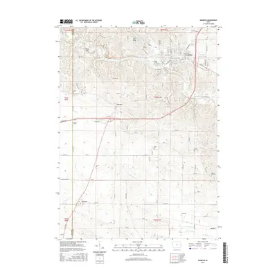
2015 Map of Anamosa
USGS Topo · Published 2015About this map
Anamosa and the nearby quarry town of Stone City anchor this portion of the Wapsipinicon River valley, though the river itself flows just outside the immediate frame. The landscape is defined by the winding course of Buffalo Creek and a dense network of country roads like Ridge Road E28 and Stone City Rd E28. For genealogists, the map is remarkably dense with burial sites, ranging from the prominent Riverside Cem and Holy Cross Cem to smaller family or rural plots like Boot Hill Cem and Spade Cem. The rural character persists through the small communities of Fairview, Martelle, and Morley, while the inclusion of Lerchs Airport and the Lower Road Bridge suggests the localized transportation hubs that serve this agricultural corridor.
Find a feature on this map
105 named features on this map. Tap any name to fly to it.
Don’t see what you’re looking for? This feature index may not catch every label — zoom into the map to look around manually.
Map Details
Editions of this 2015 Anamosa Map
This is the sole edition of this map. No revisions or reprints were ever made.
Other maps of this area

1889 · Tipton
USGS Topo · 1:62,500

1890 · Tipton
USGS Topo · 1:62,500

1890 · Anamosa
USGS Topo · 1:62,500

1891 · Monticello
USGS Topo · 1:62,500

1891 · Mechanicsville
USGS Topo · 1:62,500

1894 · Mechanicsville
USGS Topo · 1:62,500

1900 · Anamosa
USGS Topo · 1:125,000

1901 · Stanwood
USGS Topo · 1:125,000

1958 · Davenport
USGS Topo · 1:250,000

1959 · Dubuque
USGS Topo · 1:250,000