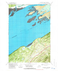
1979 Map of Anchorage B-7 NW
USGS Topo · Published 1980About this map
Knik Arm defines the western edge of this 1970s landscape, where the tides of the Palmer Slough meet a complex network of mudflats and channels near Coffee Point. The map illustrates the strategic and residential development of the Anchorage periphery, notably the expansive Fort Richardson Military Reservation and the corridor formed by The Alaska Railroad. The community of Birchwood serves as a hub for local infrastructure, featuring the Birchwood Airport and Birchwood Camp. Transportation is centered on the dual routes of the Glenn Highway and the Old Glenn Highway, which connect Chugiak to the broader region. Recreation and conservation areas are well-established, with Beach Lake Park and Elmendorf Moraine State Park preserving the area's glacial geography. Local details such as a Rodeo Ground and numerous Gravel Pits reflect the mid-century industrial and social character of this Alaskan sub-arctic environment.
Find a feature on this map
29 named features on this map. Tap any name to fly to it.
Don’t see what you’re looking for? This feature index may not catch every label — zoom into the map to look around manually.
Map Details
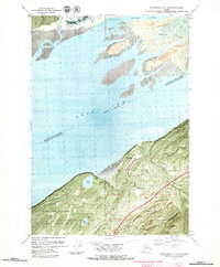
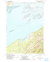
Editions of this 1979 Anchorage B-7 NW Map
3 editions found
Other maps of this area

1950 · Anchorage C-8
USGS Topo · 1:63,360

1950 · Anchorage C-7
USGS Topo · 1:63,360

1951 · Anchorage
USGS Topo · 1:250,000

1951 · Anchorage C-7
USGS Topo · 1:63,360

1952 · Anchorage C-7
USGS Topo · 1:63,360

1952 · Anchorage C-8
USGS Topo · 1:63,360

1952 · Anchorage B-8
USGS Topo · 1:63,360

1953 · Anchorage B-8
USGS Topo · 1:63,360

1960 · Anchorage B-7
USGS Topo · 1:63,360

1962 · Anchorage
USGS Topo · 1:250,000