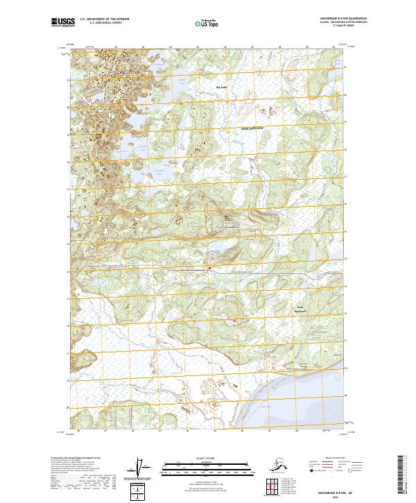
2023 Map of Anchorage B-8 NW
USGS Topo · Published 2023About this map
Big Lake and a dense network of smaller water bodies like Sevenmile Lake and Stephan Lake dominate this portion of the Matanuska-Susitna Borough. The landscape is characterized by its numerous wetlands and drainage systems, including Goose Creek and the tidal flats of Goose Bay to the south. Residential and recreational development is evident in the northern sector near Knik-Fairview, where roads such as Burma Road and Kuster Drive provide access to lakeside properties. Aviation plays a clear role in local transport, with both Brown's Homestead Airport and Goose Bay Airport serving the area. Near the coastline, the settlement of Point Mackenzie sits at the junction of Point Mackenzie Road and Knik-Goose Bay Road, illustrating the intersection of maritime proximity and emerging rural infrastructure.
Find a feature on this map
42 named features on this map. Tap any name to fly to it.
Don’t see what you’re looking for? This feature index may not catch every label — zoom into the map to look around manually.
Map Details
Editions of this 2023 Anchorage B-8 NW Map
This is the sole edition of this map. No revisions or reprints were ever made.
Other maps of this area

1949 · Tyonek
USGS Topo · 1:250,000

1950 · Anchorage C-8
USGS Topo · 1:63,360

1951 · Anchorage
USGS Topo · 1:250,000

1951 · Tyonek
USGS Topo · 1:250,000

1952 · Anchorage C-8
USGS Topo · 1:63,360

1952 · Tyonek C-1
USGS Topo · 1:63,360

1952 · Anchorage B-8
USGS Topo · 1:63,360

1953 · Anchorage B-8
USGS Topo · 1:63,360

1958 · Tyonek B-1
USGS Topo · 1:63,360

1958 · Tyonek C-1
USGS Topo · 1:63,360