
1958 Map of Tyonek B-1
USGS Topo · Published 1961About this map
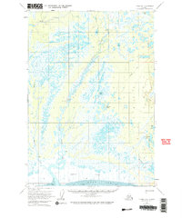
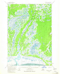
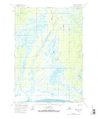
Susitna Flats dominates the southern reaches of this landscape where the marshy coastal lowlands meet the Knik Arm. This 1950s environment is defined by an intricate network of drainage and delta systems, most notably the Little Susitna River and the Little River, which wind through vast wetlands and muskeg. Human presence is sparse and functional, concentrated around a small Airstrip and Radio Towers situated near the center of the sheet. Inland, the terrain is dotted with numerous small bodies of water such as Horseshoe Lake, Twin Island Lake, and Yohn Lake. Evidence of early exploration and access is visible through the primitive Tractor Trail that cuts across the northeastern section, while several isolated Cabin sites and Cabins suggest remote seasonal dwellings or hunting camps tucked away near the shores of Lost Lake and other watercourses.
Find a feature on this map
18 named features on this map. Tap any name to fly to it.
Don’t see what you’re looking for? This feature index may not catch every label — zoom into the map to look around manually.
Map Details
Editions of this 1958 Tyonek B-1 Map
4 editions found
Other maps of this area

1949 · Tyonek
USGS Topo · 1:250,000

1950 · Anchorage C-8
USGS Topo · 1:63,360

1951 · Anchorage
USGS Topo · 1:250,000

1951 · Tyonek
USGS Topo · 1:250,000

1951 · Tyonek A-2
USGS Topo · 1:63,360

1951 · Tyonek A-1
USGS Topo · 1:63,360

1952 · Anchorage C-8
USGS Topo · 1:63,360

1952 · Tyonek C-1
USGS Topo · 1:63,360

1952 · Tyonek A-2
USGS Topo · 1:63,360

1952 · Tyonek A-1
USGS Topo · 1:63,360