
1951 Map of Tyonek A-2
USGS Topo · Published 1965About this map
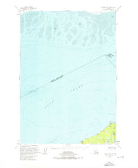
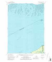
Cook Inlet dominates this mid-century survey, revealing the complex bathymetry and shifting tidal environment of the upper inlet. At the northern edge, the expansive Susitna Flats and heavy Mud deposits illustrate the active depositional environment near the river mouth. The southern shoreline features the remote settlement of Possession and the geographic prominence of Point Possession, where the terrain rises to a triangulation station at Vabm 116.
Find a feature on this map
14 named features on this map. Tap any name to fly to it.
Don’t see what you’re looking for? This feature index may not catch every label — zoom into the map to look around manually.
Map Details
Editions of this 1951 Tyonek A-2 Map
3 editions found
Other maps of this area

1944 · Kenai
USGS Topo · 1:250,000

1949 · Tyonek
USGS Topo · 1:250,000

1950 · Kenai
USGS Topo · 1:250,000

1951 · Tyonek
USGS Topo · 1:250,000

1951 · Kenai D-3
USGS Topo · 1:63,360

1951 · Kenai D-1
USGS Topo · 1:63,360

1951 · Kenai D-2
USGS Topo · 1:63,360

1951 · Tyonek A-1
USGS Topo · 1:63,360

1952 · Kenai D-3
USGS Topo · 1:63,360

1952 · Kenai D-2
USGS Topo · 1:63,360