
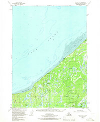
1951 Map of Kenai D-3
USGS Topo · Published 1960About this map
The Kenai National Moose Range dominates the terrain of this 1950s survey, revealing a landscape of dense wetlands and interior drainage before extensive modern development. Along the coastline of Cook Inlet, the map documents the transition from the dramatic Gray Cliff to the expansive Tidal Flats further north. This period captures early industrial interest in the Kenai Peninsula, marked by the presence of several Oil Wells and a single Oil Well scattered among the lakes and marshes.
Find a feature on this map
19 named features on this map. Tap any name to fly to it.
Don’t see what you’re looking for? This feature index may not catch every label — zoom into the map to look around manually.
Map Details
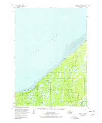
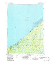
Editions of this 1951 Kenai D-3 Map
4 editions found
Other maps of this area

1944 · Kenai
USGS Topo · 1:250,000

1949 · Tyonek
USGS Topo · 1:250,000

1950 · Kenai
USGS Topo · 1:250,000

1950 · Kenai C-3
USGS Topo · 1:63,360

1950 · Kenai D-4
USGS Topo · 1:63,360

1951 · Tyonek
USGS Topo · 1:250,000

1951 · Kenai C-2
USGS Topo · 1:63,360

1951 · Kenai D-2
USGS Topo · 1:63,360

1951 · Tyonek A-2
USGS Topo · 1:63,360

1951 · Kenai C-4
USGS Topo · 1:63,360