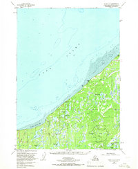
1951 Map of Kenai D-3
USGS Topo · Published 1966About this map
Cook Inlet defines the northwestern boundary of this 1951 survey, where expansive tidal flats meet the rugged shoreline of the Kenai Peninsula. The interior is dominated by the Kenai National Moose Range, a landscape characterized by a dense network of water bodies including Stormy Lake, Gull Lake, and Snipe Lake. The presence of the Swanson River Oil Field and scattered oil wells reflects the industrial development occurring within the wilderness during the early 1950s. Near the coast, the small settlement of Gray Cliff and a nearby landing strip suggest the critical role of aviation and maritime access in this remote territory. The meandering Swanson River and Bishop Creek provide the primary drainage for the countless ponds and lakes that fill the low-lying terrain, illustrating the complex hydrology of the region before further modern infrastructure reached these reaches of the peninsula.
Find a feature on this map
31 named features on this map. Tap any name to fly to it.
Don’t see what you’re looking for? This feature index may not catch every label — zoom into the map to look around manually.
Map Details
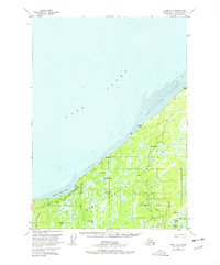
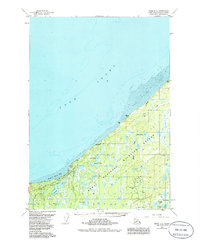
Editions of this 1951 Kenai D-3 Map
4 editions found
Other maps of this area

1944 · Kenai
USGS Topo · 1:250,000

1949 · Tyonek
USGS Topo · 1:250,000

1950 · Kenai
USGS Topo · 1:250,000

1950 · Kenai C-3
USGS Topo · 1:63,360

1950 · Kenai D-4
USGS Topo · 1:63,360

1951 · Tyonek
USGS Topo · 1:250,000

1951 · Kenai D-3
USGS Topo · 1:63,360

1951 · Kenai C-2
USGS Topo · 1:63,360

1951 · Kenai D-2
USGS Topo · 1:63,360

1951 · Tyonek A-2
USGS Topo · 1:63,360