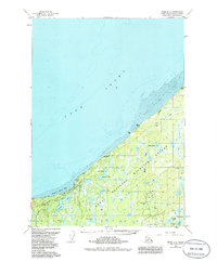
1951 Map of Kenai D-3
USGS Topo · Published 1986About this map
The Swanson River Oil Field anchors the southern portion of this peninsula landscape, reflecting the mid-century industrial development of the region's natural resources. Numerous Oil Wells and a Drill Hole are scattered across the terrain, connected by the Pipeline Road and a sprawling Pipeline. This industrial activity sits adjacent to the preserved lands of the Kenai National Wildlife Refuge and the Captain Cook State Recreation Area.
Find a feature on this map
29 named features on this map. Tap any name to fly to it.
Don’t see what you’re looking for? This feature index may not catch every label — zoom into the map to look around manually.
Map Details
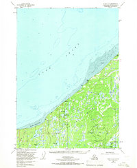
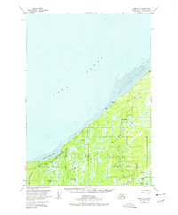
Editions of this 1951 Kenai D-3 Map
4 editions found
Other maps of this area

1944 · Kenai
USGS Topo · 1:250,000

1949 · Tyonek
USGS Topo · 1:250,000

1950 · Kenai
USGS Topo · 1:250,000

1950 · Kenai C-3
USGS Topo · 1:63,360

1950 · Kenai D-4
USGS Topo · 1:63,360

1951 · Tyonek
USGS Topo · 1:250,000

1951 · Kenai D-3
USGS Topo · 1:63,360

1951 · Kenai C-2
USGS Topo · 1:63,360

1951 · Kenai D-2
USGS Topo · 1:63,360

1951 · Tyonek A-2
USGS Topo · 1:63,360