
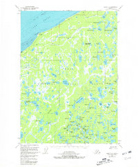
1951 Map of Kenai D-2
USGS Topo · Published 1965About this map
Cook Inlet defines the northern edge of this landscape, where Tidal Flats and the prominent Moose Point mark a transition from the sea to the interior. Much of the terrain falls within the Kenai National Moose Range, an area characterized by a dense network of water bodies such as Kuguyuk Lake, Vogel Lake, and Kenaitze Lake. This mid-century survey reveals a largely roadless territory, where travel and habitation were concentrated around isolated structures like Vogel Cabin and a lone Landing Strip near the coast. The drainage pattern of the Swanson River and smaller streams like Miller Creek and Seven Creek illustrates the complex hydrology of the peninsula. Local history is reflected in family-named landmarks and traditional place names including Birch Hill and Mc Lain Lake, documenting the era before modern development altered this portion of the Kenai Peninsula.
Find a feature on this map
77 named features on this map. Tap any name to fly to it.
Don’t see what you’re looking for? This feature index may not catch every label — zoom into the map to look around manually.
Map Details
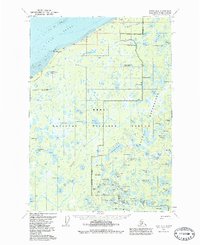
Editions of this 1951 Kenai D-2 Map
3 editions found
Other maps of this area

1944 · Kenai
USGS Topo · 1:250,000

1949 · Tyonek
USGS Topo · 1:250,000

1950 · Kenai
USGS Topo · 1:250,000

1950 · Kenai C-3
USGS Topo · 1:63,360

1951 · Tyonek
USGS Topo · 1:250,000

1951 · Kenai D-3
USGS Topo · 1:63,360

1951 · Kenai C-1
USGS Topo · 1:63,360

1951 · Kenai C-2
USGS Topo · 1:63,360

1951 · Kenai D-1
USGS Topo · 1:63,360

1951 · Tyonek A-2
USGS Topo · 1:63,360