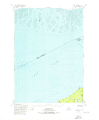
1951 Map of Tyonek A-2
USGS Topo · Published 1976About this map
Cook Inlet dominates this mid-century view, capturing the navigational hazards and sparse coastal outposts along the northern Kenai Peninsula. The landscape is defined by the massive Susitna Flats and extensive mud deposits to the north, contrasted by the relatively stable ground at Point Possession. At this location, researchers can find the settlement of Possession and several clusters of Cabins, including those noted at Cabins & HES No 138.
Find a feature on this map
16 named features on this map. Tap any name to fly to it.
Don’t see what you’re looking for? This feature index may not catch every label — zoom into the map to look around manually.
Map Details
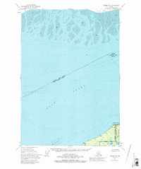
Editions of this 1951 Tyonek A-2 Map
3 editions found
Other maps of this area

1944 · Kenai
USGS Topo · 1:250,000

1949 · Tyonek
USGS Topo · 1:250,000

1950 · Kenai
USGS Topo · 1:250,000

1951 · Tyonek
USGS Topo · 1:250,000

1951 · Kenai D-3
USGS Topo · 1:63,360

1951 · Kenai D-1
USGS Topo · 1:63,360

1951 · Kenai D-2
USGS Topo · 1:63,360

1951 · Tyonek A-2
USGS Topo · 1:63,360

1951 · Tyonek A-1
USGS Topo · 1:63,360

1952 · Kenai D-3
USGS Topo · 1:63,360