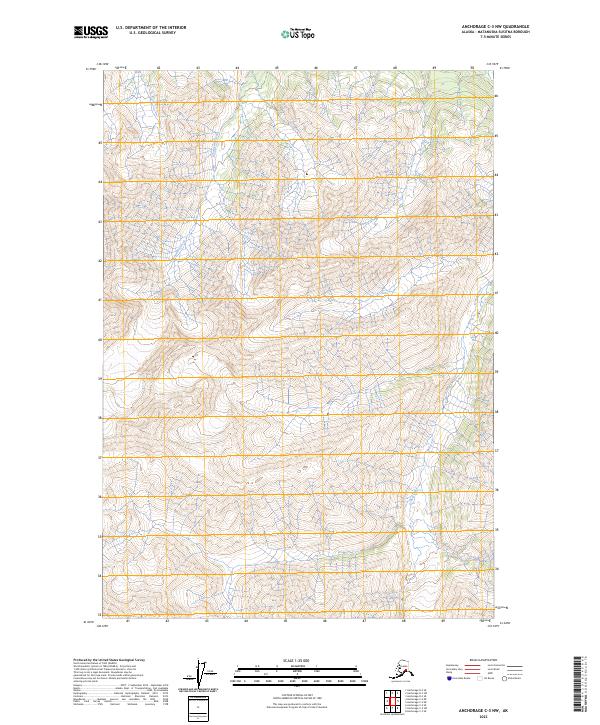
2023 Map of Anchorage C-3 NW
USGS Topo · Published 2023About this map
Monument Creek and Gravel Creek dominate this landscape within the Matanuska-Susitna region, carving through the high elevations of the Chugach Mountains. This 2023 survey illustrates a wilderness defined by steep topographic gradients and glacial drainages, where the only human-imposed structure is the Public Land Survey System grid. The map encompasses portions of t19n r7e, t19n r8e, t18n r7e, and t18n r8e, marking the legal divisions of this high-altitude terrain. The absence of roads or established settlements emphasizes the remote nature of these watersheds, which serve as primary features for navigating this part of the Alaskan interior. Researchers and outdoorsmen can use these detailed contours to trace the precise flow of sub-alpine streams across the technical boundaries of the Anchorage quadrangle.
Find a feature on this map
6 named features on this map. Tap any name to fly to it.
Don’t see what you’re looking for? This feature index may not catch every label — zoom into the map to look around manually.
Map Details
Editions of this 2023 Anchorage C-3 NW Map
This is the sole edition of this map. No revisions or reprints were ever made.
Other maps of this area

1948 · Anchorage D-3
USGS Topo · 1:63,360

1948 · Anchorage D-4
USGS Topo · 1:63,360

1951 · Anchorage
USGS Topo · 1:250,000

1952 · Anchorage D-4
USGS Topo · 1:63,360

1952 · Anchorage D-3
USGS Topo · 1:63,360

1960 · Anchorage C-3
USGS Topo · 1:63,360

1960 · Anchorage C-4
USGS Topo · 1:63,360

1962 · Anchorage
USGS Topo · 1:250,000

1979 · Anchorage
USGS Topo · 1:250,000

1993 · Anchorage C-3
USGS Topo · 1:63,360