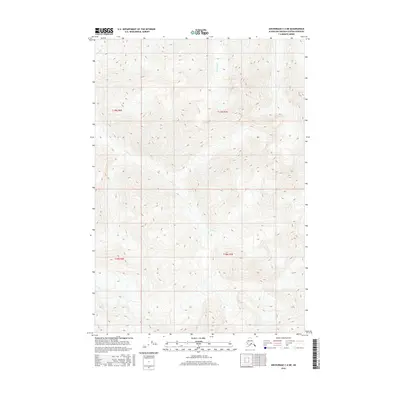
2016 Map of Anchorage C-4 NE
USGS Topo · Published 2016About this map
Coal Creek meanders through this high-elevation landscape of the Matanuska-Susitna Borough, defining the drainage patterns of a region marked by significant topographic relief. This 2016 survey provides a precise look at the wilderness north of Anchorage, where steep contour lines reveal a complex network of ridges and valleys. While largely devoid of permanent human settlements or infrastructure, the map details the natural water systems that drain the peaks, including Riley Creek in the northwest and Ninemile Creek further east. These drainages serve as critical landmarks for understanding the hydrology and land-use history of this remote Alaskan interior, showing the land exactly as it appeared in the early 21st century.
Find a feature on this map
7 named features on this map. Tap any name to fly to it.
Don’t see what you’re looking for? This feature index may not catch every label — zoom into the map to look around manually.
Map Details
Editions of this 2016 Anchorage C-4 NE Map
This is the sole edition of this map. No revisions or reprints were ever made.
Other maps of this area

1948 · Anchorage D-3
USGS Topo · 1:63,360

1948 · Anchorage D-4
USGS Topo · 1:63,360

1951 · Anchorage
USGS Topo · 1:250,000

1952 · Anchorage D-4
USGS Topo · 1:63,360

1952 · Anchorage D-3
USGS Topo · 1:63,360

1960 · Anchorage C-3
USGS Topo · 1:63,360

1960 · Anchorage C-4
USGS Topo · 1:63,360

1962 · Anchorage
USGS Topo · 1:250,000

1979 · Anchorage
USGS Topo · 1:250,000

1993 · Anchorage C-3
USGS Topo · 1:63,360