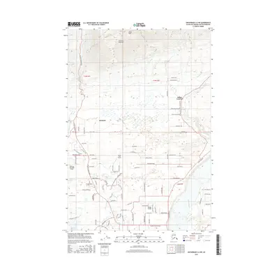
2016 Map of Anchorage C-6 NW
USGS Topo · Published 2016About this map
Arkose Ridge and the Talkeetna Mountains define the northern limits of this landscape, where the terrain drops sharply toward the valley floor near Fishhook. The area is characterized by a mix of residential development and small-scale aviation infrastructure, evidenced by the Wasilla Creek Airpark and High Ridge Association Airport. The eastern edge is bounded by the Matanuska River, while the Little Susitna River winds through the western section. In the lower elevations, settlements like Farm Loop and Buffalo Soapstone are connected by a grid of named local roads, including Palmer-Fishhook Road and the Glenn Highway, reflecting the residential expansion in this portion of the Matanuska-Susitna Borough. The drainage network is complex, featuring Moose Creek, Wasilla Creek, and smaller water bodies such as Dandy Lake.
Find a feature on this map
90 named features on this map. Tap any name to fly to it.
Don’t see what you’re looking for? This feature index may not catch every label — zoom into the map to look around manually.
Map Details
Editions of this 2016 Anchorage C-6 NW Map
This is the sole edition of this map. No revisions or reprints were ever made.
Other maps of this area

1949 · Anchorage D-7
USGS Topo · 1:63,360

1950 · Anchorage D-6
USGS Topo · 1:63,360

1950 · Anchorage C-7
USGS Topo · 1:63,360

1951 · Anchorage
USGS Topo · 1:250,000

1951 · Anchorage C-6
USGS Topo · 1:63,360

1951 · Anchorage C-7
USGS Topo · 1:63,360

1951 · Anchorage D-7
USGS Topo · 1:63,360

1952 · Anchorage C-7
USGS Topo · 1:63,360

1952 · Anchorage D-7
USGS Topo · 1:63,360

1952 · Anchorage D-6
USGS Topo · 1:63,360