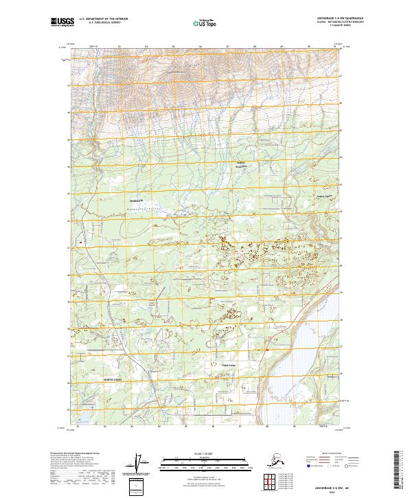
2023 Map of Anchorage C-6 NW
USGS Topo · Published 2023About this map
The Matanuska Valley transitions from the steep slopes of the Talkeetna Mountains to the residential corridors north of Palmer on this modern survey. Arkose Ridge overlooks a landscape defined by its glacial heritage and modern development, where the Little Susitna River and Wasilla Creek cut through the lowland terrain. The map documents the growth of distinct communities like Buffalo Soapstone, Fishhook, and North Lakes, revealing how local roads like Palmer-Fishhook Road and Gold Bullion Boulevard have shaped the valley's settlement patterns.
Find a feature on this map
102 named features on this map. Tap any name to fly to it.
Don’t see what you’re looking for? This feature index may not catch every label — zoom into the map to look around manually.
Map Details
Editions of this 2023 Anchorage C-6 NW Map
This is the sole edition of this map. No revisions or reprints were ever made.
Other maps of this area

1949 · Anchorage D-7
USGS Topo · 1:63,360

1950 · Anchorage D-6
USGS Topo · 1:63,360

1950 · Anchorage C-7
USGS Topo · 1:63,360

1951 · Anchorage
USGS Topo · 1:250,000

1951 · Anchorage C-6
USGS Topo · 1:63,360

1951 · Anchorage C-7
USGS Topo · 1:63,360

1951 · Anchorage D-7
USGS Topo · 1:63,360

1952 · Anchorage C-7
USGS Topo · 1:63,360

1952 · Anchorage D-7
USGS Topo · 1:63,360

1952 · Anchorage D-6
USGS Topo · 1:63,360