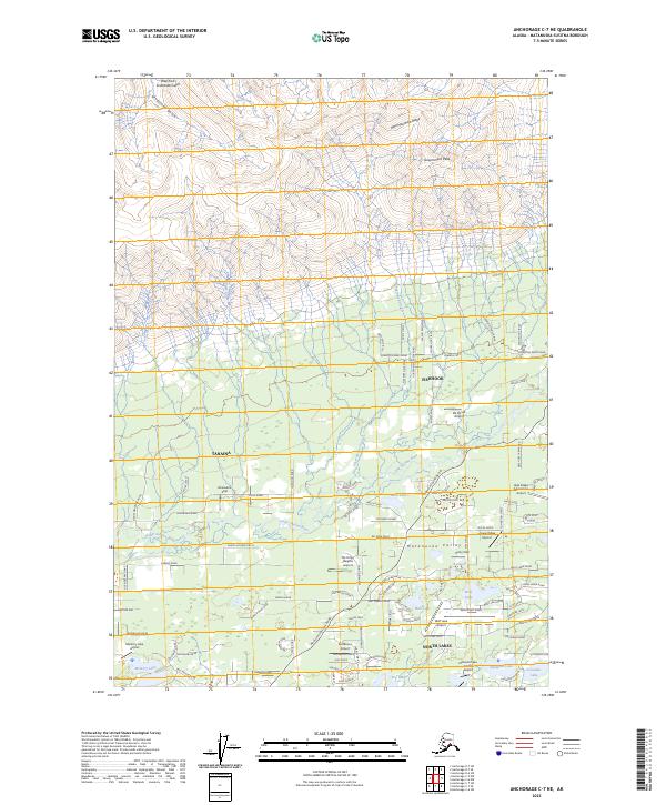
2023 Map of Anchorage C-7 NE
USGS Topo · Published 2023About this map
The Matanuska Valley floor transitions into the southern slopes of the Talkeetna Mountains on this modern survey. The landscape is defined by the high elevations of Government Peak and Bald Mountain Ridge to the north, which give way to a dense network of suburban and rural residential developments in Fishhook, Tanaina, and North Lakes. A striking concentration of private aviation infrastructure is evident across the valley, including Wolf Lake Airport, Niklason Lake Estates Airport, and the small Boisselle's Strip, reflecting the region's reliance on air travel. The Little Susitna River meanders through the central terrain, while numerous smaller bodies of water like Reed Lake and Kennedy Lake dot the lowlands. The road system is highly developed, with named ways like Edgerton Parks Road and Wasilla-Fishhook Road providing access to family-named landmarks and local estates.
Find a feature on this map
133 named features on this map. Tap any name to fly to it.
Don’t see what you’re looking for? This feature index may not catch every label — zoom into the map to look around manually.
Map Details
Editions of this 2023 Anchorage C-7 NE Map
This is the sole edition of this map. No revisions or reprints were ever made.
Other maps of this area

1949 · Anchorage D-7
USGS Topo · 1:63,360

1950 · Anchorage D-6
USGS Topo · 1:63,360

1950 · Anchorage C-7
USGS Topo · 1:63,360

1951 · Anchorage
USGS Topo · 1:250,000

1951 · Anchorage C-6
USGS Topo · 1:63,360

1951 · Anchorage C-7
USGS Topo · 1:63,360

1951 · Anchorage D-7
USGS Topo · 1:63,360

1952 · Anchorage C-7
USGS Topo · 1:63,360

1952 · Anchorage D-7
USGS Topo · 1:63,360

1952 · Anchorage D-6
USGS Topo · 1:63,360