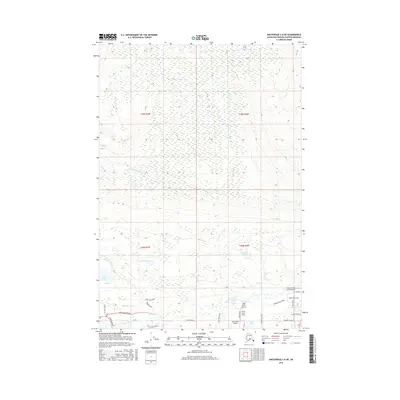
2016 Map of Anchorage C-8 NE
USGS Topo · Published 2016About this map
The Little Susitna River meanders through this landscape, providing a central drainage for the numerous wetlands and water bodies of the Matanuska-Susitna Borough. In this mid-2010s survey, the area south of the river shows a clear transition toward a more developed rural-residential layout, defined by named roads such as Murphy's Bluff Road and Peninsula Drive. A unique concentration of private aviation infrastructure is evident in the southern portion of the map, including the Valley Flying Crown Airport, Cizek North Airport, Wolf Track Airport, and the North Cubs Strip, suggesting a community deeply reliant on air travel.
Find a feature on this map
33 named features on this map. Tap any name to fly to it.
Don’t see what you’re looking for? This feature index may not catch every label — zoom into the map to look around manually.
Map Details
Editions of this 2016 Anchorage C-8 NE Map
This is the sole edition of this map. No revisions or reprints were ever made.
Other maps of this area

1949 · Anchorage D-7
USGS Topo · 1:63,360

1949 · Anchorage D-8
USGS Topo · 1:63,360

1950 · Anchorage C-8
USGS Topo · 1:63,360

1950 · Anchorage C-7
USGS Topo · 1:63,360

1951 · Anchorage
USGS Topo · 1:250,000

1951 · Anchorage C-7
USGS Topo · 1:63,360

1951 · Anchorage D-8
USGS Topo · 1:63,360

1951 · Anchorage D-7
USGS Topo · 1:63,360

1952 · Anchorage C-7
USGS Topo · 1:63,360

1952 · Anchorage D-7
USGS Topo · 1:63,360