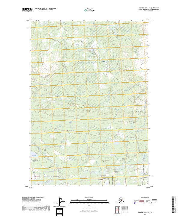
2023 Map of Anchorage C-8 NE
USGS Topo · Published 2023About this map
Little Susitna River winds through the southeastern portion of this landscape, anchoring the developed areas of Meadow Lakes and Houston. This 2023 survey illustrates the modern residential footprint of the Matanuska-Susitna Borough, where a network of local roads like Armstrong Road and Murphy's Bluff Road connect established neighborhoods to the region's aviation hubs. The presence of several private and community airstrips, including the Valley Flying Crown Airport and Zek North Airport, highlights the critical role of light aircraft in Alaskan transportation.
Find a feature on this map
32 named features on this map. Tap any name to fly to it.
Don’t see what you’re looking for? This feature index may not catch every label — zoom into the map to look around manually.
Map Details
Editions of this 2023 Anchorage C-8 NE Map
This is the sole edition of this map. No revisions or reprints were ever made.
Other maps of this area

1949 · Anchorage D-7
USGS Topo · 1:63,360

1949 · Anchorage D-8
USGS Topo · 1:63,360

1950 · Anchorage C-8
USGS Topo · 1:63,360

1950 · Anchorage C-7
USGS Topo · 1:63,360

1951 · Anchorage
USGS Topo · 1:250,000

1951 · Anchorage C-7
USGS Topo · 1:63,360

1951 · Anchorage D-8
USGS Topo · 1:63,360

1951 · Anchorage D-7
USGS Topo · 1:63,360

1952 · Anchorage C-7
USGS Topo · 1:63,360

1952 · Anchorage D-7
USGS Topo · 1:63,360