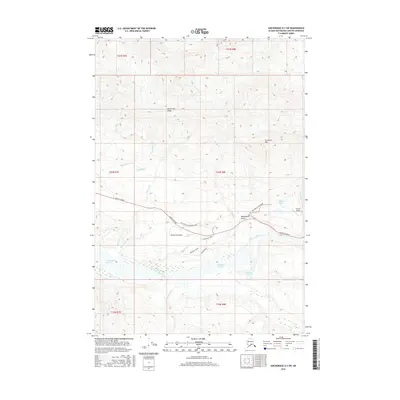
2016 Map of Anchorage D-3 SW
USGS Topo · Published 2016About this map
Anthracite Ridge dominates the northern reaches of this Alaskan interior landscape, looking down over a complex network of glacial tributaries and mountain roads. In the lower elevations, the Glenn Highway serves as the primary artery, paralleling the wide braided channel of the Matanuska River. This 2016 survey documents the infrastructure surrounding the Victory Bible Camp Road and the Victory Airport, including localized developments like Aspen Leaf Circle and Monument Drive.
Find a feature on this map
34 named features on this map. Tap any name to fly to it.
Don’t see what you’re looking for? This feature index may not catch every label — zoom into the map to look around manually.
Map Details
Editions of this 2016 Anchorage D-3 SW Map
This is the sole edition of this map. No revisions or reprints were ever made.
Other maps of this area

1948 · Anchorage D-3
USGS Topo · 1:63,360

1948 · Anchorage D-4
USGS Topo · 1:63,360

1951 · Anchorage
USGS Topo · 1:250,000

1952 · Anchorage D-4
USGS Topo · 1:63,360

1952 · Anchorage D-3
USGS Topo · 1:63,360

1960 · Anchorage C-3
USGS Topo · 1:63,360

1960 · Anchorage C-4
USGS Topo · 1:63,360

1962 · Anchorage
USGS Topo · 1:250,000

1979 · Anchorage
USGS Topo · 1:250,000

1993 · Anchorage C-3
USGS Topo · 1:63,360