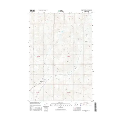
2016 Map of Anchorage D-6 SW
USGS Topo · Published 2016About this map
Fishhook sits at the base of high mountain peaks where the Palmer-Fishhook Road meets the rugged interior drainage of the Little Susitna River. This high-altitude landscape in the Talkeetna Mountains is defined by its mining and recreational history, featuring the Arch Prospect and the prominent Idaho Peak. Transport through the area is marked by specialized routes like the Gold Mint Road and Archangel Road, which provide access to glaciated terrain and remote water bodies such as Upper Reed Lake and Lower Reed Lake. The presence of the Mint Glacier at the northern edge and Arkose Ridge to the south illustrates the dramatic elevation changes that shaped local activity. In addition to vehicle roads, the map details seasonal movement through the Winter Snowmachine route and the Mile 16 Ski Run, reflecting the area's transition into a destination for winter sports and backcountry exploration.
Find a feature on this map
33 named features on this map. Tap any name to fly to it.
Don’t see what you’re looking for? This feature index may not catch every label — zoom into the map to look around manually.
Map Details
Editions of this 2016 Anchorage D-6 SW Map
This is the sole edition of this map. No revisions or reprints were ever made.
Other maps of this area

1949 · Anchorage D-7
USGS Topo · 1:63,360

1950 · Anchorage D-6
USGS Topo · 1:63,360

1950 · Anchorage C-7
USGS Topo · 1:63,360

1951 · Anchorage
USGS Topo · 1:250,000

1951 · Anchorage C-6
USGS Topo · 1:63,360

1951 · Anchorage C-7
USGS Topo · 1:63,360

1951 · Anchorage D-7
USGS Topo · 1:63,360

1952 · Anchorage C-7
USGS Topo · 1:63,360

1952 · Anchorage D-7
USGS Topo · 1:63,360

1952 · Anchorage D-6
USGS Topo · 1:63,360