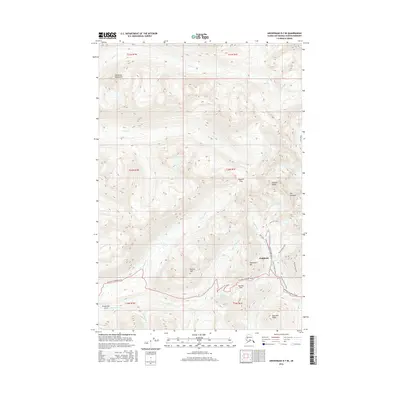
2016 Map of Anchorage D-7 SE
USGS Topo · Published 2016About this map
Skyscraper Mtn and Bullion Mtn dominate this high-elevation landscape within the Talkeetna Mountains, where the local economy and infrastructure are defined by historic mineral exploration and rugged transportation routes. The mining history of the region is anchored by the Rae-Wallace Mine, situated near the headwaters of Fishhook Cr and the complex loops of the Mill Loop. This 2016 survey illustrates the modern recreational and industrial access provided by the Willow Fishhook Road and Palmer-Fishhook Road, which meet at Hatcher Pass. High mountain passes like Dogsled Pass and water features such as Summit Lake and Gold Cord Lake provide critical reference points for geologists and local historians studying the Matanuska-Susitna region's drainage patterns and upland development.
Find a feature on this map
35 named features on this map. Tap any name to fly to it.
Don’t see what you’re looking for? This feature index may not catch every label — zoom into the map to look around manually.
Map Details
Editions of this 2016 Anchorage D-7 SE Map
This is the sole edition of this map. No revisions or reprints were ever made.
Other maps of this area

1949 · Anchorage D-7
USGS Topo · 1:63,360

1950 · Anchorage D-6
USGS Topo · 1:63,360

1950 · Anchorage C-7
USGS Topo · 1:63,360

1951 · Anchorage
USGS Topo · 1:250,000

1951 · Anchorage C-6
USGS Topo · 1:63,360

1951 · Anchorage C-7
USGS Topo · 1:63,360

1951 · Anchorage D-7
USGS Topo · 1:63,360

1952 · Anchorage C-7
USGS Topo · 1:63,360

1952 · Anchorage D-7
USGS Topo · 1:63,360

1952 · Anchorage D-6
USGS Topo · 1:63,360