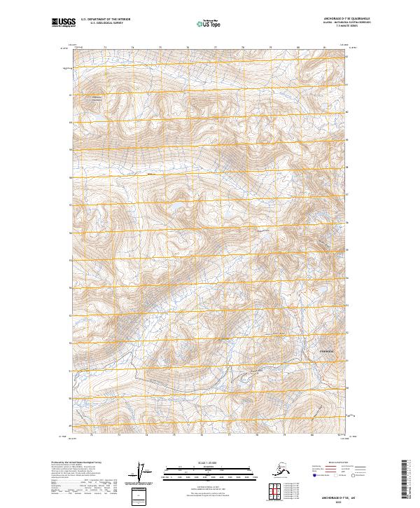
2023 Map of Anchorage D-7 SE
USGS Topo · Published 2023About this map
The Talkeetna Mountains define the high-altitude landscape of this region, where the historic mining and alpine activity around Hatcher Pass is meticulously documented. The settlement of Fishhook serves as a gateway to this terrain, which is intersected by the rugged Willow Fishhook Rd. The area's legacy of extraction and exploration is visible through specialized routes like the Independence Mine Trl and the Gold Cord Lake Trl, which navigate the steep slopes of Skyscraper Mtn and Bullion Mtn.
Find a feature on this map
34 named features on this map. Tap any name to fly to it.
Don’t see what you’re looking for? This feature index may not catch every label — zoom into the map to look around manually.
Map Details
Editions of this 2023 Anchorage D-7 SE Map
This is the sole edition of this map. No revisions or reprints were ever made.
Other maps of this area

1949 · Anchorage D-7
USGS Topo · 1:63,360

1950 · Anchorage D-6
USGS Topo · 1:63,360

1950 · Anchorage C-7
USGS Topo · 1:63,360

1951 · Anchorage
USGS Topo · 1:250,000

1951 · Anchorage C-6
USGS Topo · 1:63,360

1951 · Anchorage C-7
USGS Topo · 1:63,360

1951 · Anchorage D-7
USGS Topo · 1:63,360

1952 · Anchorage C-7
USGS Topo · 1:63,360

1952 · Anchorage D-7
USGS Topo · 1:63,360

1952 · Anchorage D-6
USGS Topo · 1:63,360