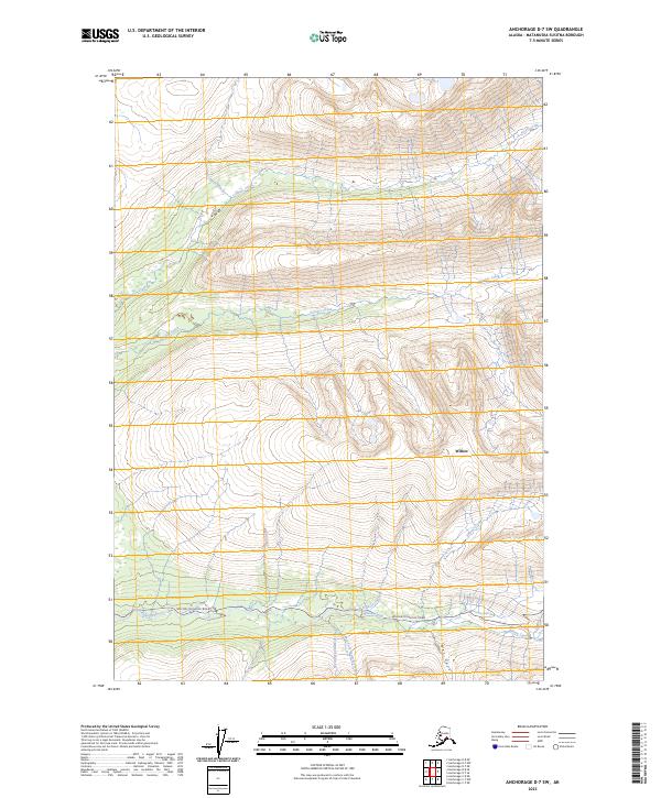
2023 Map of Anchorage D-7 SW
USGS Topo · Published 2023About this map
Willow and the surrounding Matanuska-Susitna Borough landscape are defined by a complex drainage system flowing through the Hatcher Pass foothills. The southern portion of the sheet is bisected by the Willow Fishhook Road, a critical historical artery connecting the settlement to the gold-producing areas of the Talkeetna Mountains. This road follows the path of Willow Creek, while further south, the West Fork Sawmill Creek and East Fork Sawmill Creek merge near Wet Gulch.
Find a feature on this map
17 named features on this map. Tap any name to fly to it.
Don’t see what you’re looking for? This feature index may not catch every label — zoom into the map to look around manually.
Map Details
Editions of this 2023 Anchorage D-7 SW Map
This is the sole edition of this map. No revisions or reprints were ever made.
Other maps of this area

1949 · Anchorage D-7
USGS Topo · 1:63,360

1949 · Anchorage D-8
USGS Topo · 1:63,360

1950 · Anchorage C-8
USGS Topo · 1:63,360

1950 · Anchorage C-7
USGS Topo · 1:63,360

1951 · Anchorage
USGS Topo · 1:250,000

1951 · Anchorage C-7
USGS Topo · 1:63,360

1951 · Anchorage D-8
USGS Topo · 1:63,360

1951 · Anchorage D-7
USGS Topo · 1:63,360

1952 · Anchorage C-7
USGS Topo · 1:63,360

1952 · Anchorage D-7
USGS Topo · 1:63,360