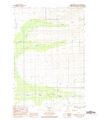
1983 Map of Anchorage D-7 SW
USGS Topo · Published 1983About this map
Willow Creek and Peters Creek define this section of the Matanuska-Susitna Borough, where the landscape is marked by a complex drainage network and high-elevation relief. Surveyed in the early 1980s, the map reveals a wilderness largely devoid of permanent settlements, focused instead on the natural hydrology of the Talkeetna Mountains foothills. A solitary winter trail south of Willow Creek provides the only indicated terrestrial route, suggesting a landscape accessed primarily by seasonal transport or remote backcountry travel.
Find a feature on this map
15 named features on this map. Tap any name to fly to it.
Don’t see what you’re looking for? This feature index may not catch every label — zoom into the map to look around manually.
Map Details
Editions of this 1983 Anchorage D-7 SW Map
This is the sole edition of this map. No revisions or reprints were ever made.
Other maps of this area

1949 · Anchorage D-7
USGS Topo · 1:63,360

1949 · Anchorage D-8
USGS Topo · 1:63,360

1950 · Anchorage C-8
USGS Topo · 1:63,360

1950 · Anchorage C-7
USGS Topo · 1:63,360

1951 · Anchorage
USGS Topo · 1:250,000

1951 · Anchorage C-7
USGS Topo · 1:63,360

1951 · Anchorage D-8
USGS Topo · 1:63,360

1951 · Anchorage D-7
USGS Topo · 1:63,360

1952 · Anchorage C-7
USGS Topo · 1:63,360

1952 · Anchorage D-7
USGS Topo · 1:63,360