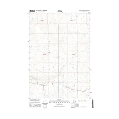
2016 Map of Anchorage D-8 SE
USGS Topo · Published 2016About this map
Willow and the surrounding drainage basins of the Matanuska-Susitna Borough are captured in this 2016 survey. The landscape is defined by the sharp transition between the upland drainage of Iron Cr and Canyon Cr in the north and the lake-dotted lowlands to the south. Transportation in this era is centered on the Willow Fishhook Road corridor, which connects the settlement to the interior, supported by a network of local routes including Snowberry Road and Purches Creek Road. The map reveals the hydrology of the Susitna Valley, where the waters of Willow Creek and Peters Creek flow through glacial terrain. Numerous small water bodies, such as Twelvemile Lake and Teakwood Lake, characterize the lower elevations, reflecting the complex wetland systems of the region.
Find a feature on this map
22 named features on this map. Tap any name to fly to it.
Don’t see what you’re looking for? This feature index may not catch every label — zoom into the map to look around manually.
Map Details
Editions of this 2016 Anchorage D-8 SE Map
This is the sole edition of this map. No revisions or reprints were ever made.
Other maps of this area

1949 · Anchorage D-7
USGS Topo · 1:63,360

1949 · Anchorage D-8
USGS Topo · 1:63,360

1950 · Anchorage C-8
USGS Topo · 1:63,360

1950 · Anchorage C-7
USGS Topo · 1:63,360

1951 · Anchorage
USGS Topo · 1:250,000

1951 · Anchorage C-7
USGS Topo · 1:63,360

1951 · Anchorage D-8
USGS Topo · 1:63,360

1951 · Anchorage D-7
USGS Topo · 1:63,360

1952 · Anchorage C-7
USGS Topo · 1:63,360

1952 · Anchorage D-7
USGS Topo · 1:63,360