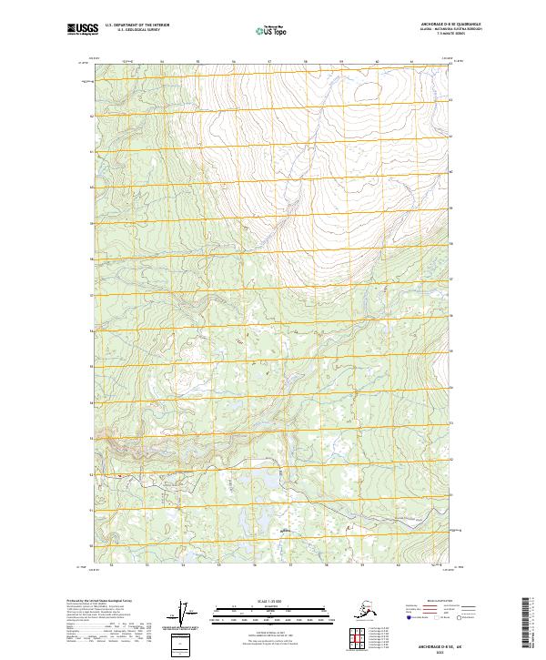
2023 Map of Anchorage D-8 SE
USGS Topo · Published 2023About this map
Willow serves as the focal point of this northern landscape within the Matanuska-Susitna Borough, where the residential footprint is primarily clustered along the southern edge of the quadrangle. The settlement pattern follows a network of local connectors including Homestead Road, Snowberry Road, and Purches Creek Road. This infrastructure suggests a community built around large rural parcels and homesteads, transitioning quickly into undeveloped wilderness to the north.
Find a feature on this map
20 named features on this map. Tap any name to fly to it.
Don’t see what you’re looking for? This feature index may not catch every label — zoom into the map to look around manually.
Map Details
Editions of this 2023 Anchorage D-8 SE Map
This is the sole edition of this map. No revisions or reprints were ever made.
Other maps of this area

1949 · Anchorage D-7
USGS Topo · 1:63,360

1949 · Anchorage D-8
USGS Topo · 1:63,360

1950 · Anchorage C-8
USGS Topo · 1:63,360

1950 · Anchorage C-7
USGS Topo · 1:63,360

1951 · Anchorage
USGS Topo · 1:250,000

1951 · Anchorage C-7
USGS Topo · 1:63,360

1951 · Anchorage D-8
USGS Topo · 1:63,360

1951 · Anchorage D-7
USGS Topo · 1:63,360

1952 · Anchorage C-7
USGS Topo · 1:63,360

1952 · Anchorage D-7
USGS Topo · 1:63,360