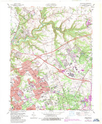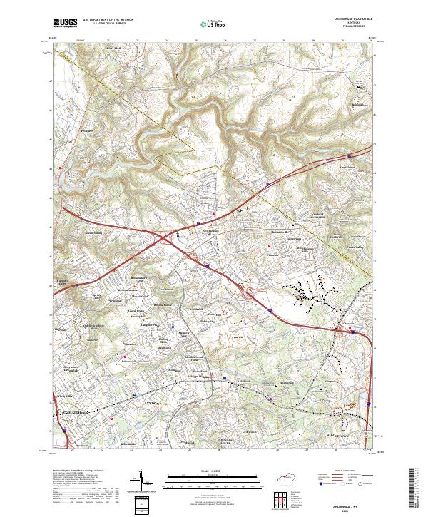
2022 Map of Anchorage
USGS Topo · Published 2022About this map
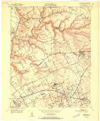
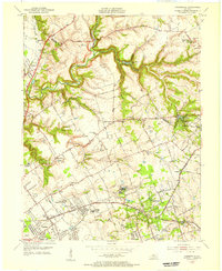
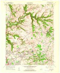
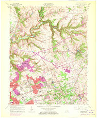
The suburban landscape of eastern Jefferson County and southern Oldham County is intricately mapped here, defined by a dense network of residential developments and historic community centers. Settlements like Pewee Valley and Anchorage are captured alongside smaller enclaves such as Fraziertown and Berrytown, a community established in the post-Civil War era. The geography is deeply influenced by the winding paths of Harrods Creek and its many tributaries, including South Fork Harrods Creek and Wolf Pen Br, which carve through the undulating land.
Find a feature on this map
79 named features on this map. Tap any name to fly to it.
Don’t see what you’re looking for? This feature index may not catch every label — zoom into the map to look around manually.
Map Details
Editions of this 2022 Anchorage Map
This is the sole edition of this map. No revisions or reprints were ever made.
Historical Maps of Anchorage Through Time
6 maps found