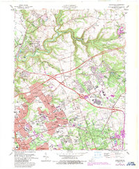
1981 Map of Anchorage
USGS Topo · Published 1987About this map
Suburban expansion and historic institutions define this landscape northeast of Louisville during the early 1980s. The map captures a moment of significant infrastructure development, centered on the newly appearing Gene Snyder Freeway interchange and the sprawling grounds of E P "Tom" Sawyer State Park. Significant local landmarks like the Kentucky Railway Museum and Central State Hospital stand alongside established communities like Anchorage and Prospect. Smaller enclaves such as Fraziertown and Griffytown are visible, reflecting the area's diverse settlement history before more recent development. The winding course of Harrods Creek and its South Fork provide a natural contrast to the grid of new residential neighborhoods, such as Old Brownsboro Place and Barbourmeade. Historical rail operations are still prominent, with the Louisville & Nashville RR and CSX lines crossing the terrain.
Find a feature on this map
98 named features on this map. Tap any name to fly to it.
Don’t see what you’re looking for? This feature index may not catch every label — zoom into the map to look around manually.
Map Details
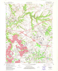
Editions of this 1981 Anchorage Map
2 editions found
Other maps of this area

1905 · Prospect
USGS Topo · 1:62,500

1907 · Louisville
USGS Topo · 1:62,500

1912 · Prospect
USGS Topo · 1:62,500

1929 · Taylorsville
USGS Topo · 1:62,500

1932 · La Grange
USGS Topo · 1:62,500

1937 · Jeffersonville
USGS Topo · 1:24,000

1937 · Charlestown
USGS Topo · 1:24,000

1938 · Owen
USGS Topo · 1:24,000

1946 · Jeffersonville
USGS Topo · 1:24,000

1948 · Owen
USGS Topo · 1:24,000