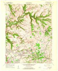
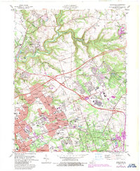
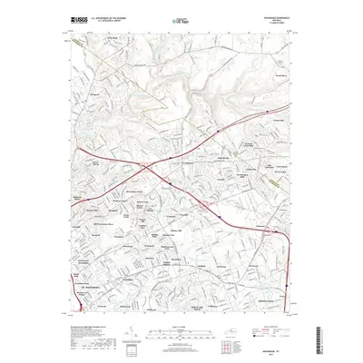
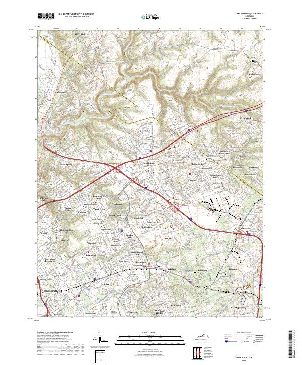
1960 Map of Anchorage
USGS Topo · Published 1961About this map
Central State Hospital and the adjacent Ormsby Village State Reservation dominate the central landscape of this eastern Jefferson County survey. The area exhibits the transition from institutional land use to suburban development, with various residential clusters like Anchorage, Devondale, and Moorland appearing near established thoroughfares such as Nashville Road. Educational and social history is deeply rooted here, evidenced by the Kentucky Military Institute, the State Children's Home, and several denominational landmarks including St Thomas Seminary and Greencastle Ch.
Find a feature on this map
72 named features on this map. Tap any name to fly to it.
Don’t see what you’re looking for? This feature index may not catch every label — zoom into the map to look around manually.
Map Details
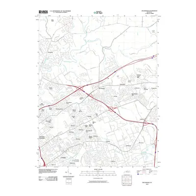
Editions of this 1960 Anchorage Map
This is the sole edition of this map. No revisions or reprints were ever made.
Historical Maps of Louisville Through Time
10 maps found
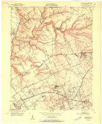
1951 Anchorage
Jefferson County, KY
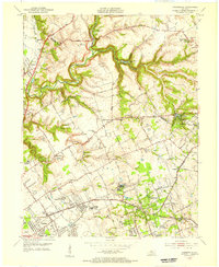
1955 Anchorage
Jefferson County, KY
1960 Anchorage
Jefferson County, KY
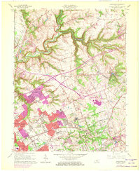
1965 Anchorage
Jefferson County, KY
1981 Anchorage
Jefferson County, KY
2010 Anchorage
Jefferson County, KY
2013 Anchorage
Jefferson County, KY
2016 Anchorage
Jefferson County, KY
2019 Anchorage
Jefferson County, KY
2022 Anchorage
Jefferson County, KY