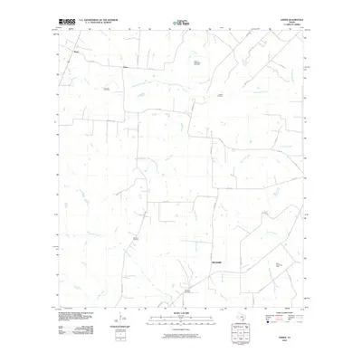
2010 Map of Ander
USGS Topo · Published 2010About this map
San Jose Cemetery and Franklin Cemetery lie in the northern reaches of this Goliad County landscape, marking the established rural heritage of the area. This portion of South Texas is defined by a dense network of watercourses, including the significant Eighteenmile Creek and Fifteenmile Creek, which drain toward the south and east. The small community of Weser sits near the northwestern corner, while the settlement of Ander occupies a central position along Bluntzer Rd.
Find a feature on this map
43 named features on this map. Tap any name to fly to it.
Don’t see what you’re looking for? This feature index may not catch every label — zoom into the map to look around manually.
Map Details
Editions of this 2010 Ander Map
This is the sole edition of this map. No revisions or reprints were ever made.
Other maps of this area

1953 · Beeville
USGS Topo · 1:250,000

1956 · Beeville
USGS Topo · 1:250,000

1960 · Beeville
USGS Topo · 1:250,000

1962 · Fannin
USGS Topo · 1:24,000

1962 · Hensley Lake
USGS Topo · 1:24,000

1962 · Goliad
USGS Topo · 1:24,000

1963 · Meyersville
USGS Topo · 1:24,000

1963 · Weesatche
USGS Topo · 1:24,000
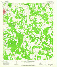
1963 · Yorktown East
USGS Topo · 1:24,000
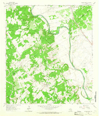
1963 · Mission Valley
USGS Topo · 1:24,000