
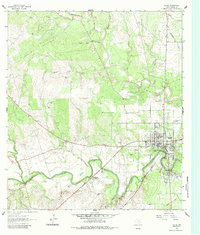
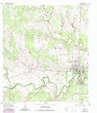
1962 Map of Goliad
USGS Topo · Published 1964About this map
The historical Spanish presence along the San Antonio River is deeply legible on this sheet, anchored by the Presidio La Bahia (Ruins) and the nearby Mission Nuestra Señora del Rosario (Ruins). These colonial landmarks, together with the Memorial Shaft, define the southern edge of Goliad during the early 1960s. The settlement pattern follows the river’s winding course, with the Southern Pacific railroad cutting through the river valley to serve the town's core.
Find a feature on this map
40 named features on this map. Tap any name to fly to it.
Don’t see what you’re looking for? This feature index may not catch every label — zoom into the map to look around manually.
Map Details
Editions of this 1962 Goliad Map
Other maps of this area

1953 · Beeville
USGS Topo · 1:250,000

1956 · Beeville
USGS Topo · 1:250,000

1960 · Beeville
USGS Topo · 1:250,000

1962 · Live Oak Lake
USGS Topo · 1:24,000

1962 · Melo
USGS Topo · 1:24,000

1962 · Hensley Lake
USGS Topo · 1:24,000

1963 · Weesatche
USGS Topo · 1:24,000

1963 · Berclair
USGS Topo · 1:24,000
1963 · Runge SE
USGS Topo · 1:24,000
1963 · Ander
USGS Topo · 1:24,000