
1962 Map of Melo
USGS Topo · Published 1964About this map
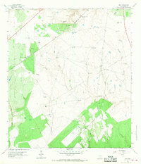
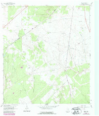
The Southern Pacific railroad cuts a diagonal line across this South Texas landscape, serving as the primary infrastructure for the cattle and oil interests of the early 1960s. The small settlement of Melo and the nearby Melo Ranch anchor the northern reaches of the map, while large family-held tracts like Bissitt Ranch and Chip Ranch dominate the surrounding acreage. This is a working landscape of drainage and extraction, where numerous Gas Wells and an extensive network of pipelines intersect with the natural flow of Sarco Creek and Martinez Creek.
Find a feature on this map
39 named features on this map. Tap any name to fly to it.
Don’t see what you’re looking for? This feature index may not catch every label — zoom into the map to look around manually.
Map Details
Editions of this 1962 Melo Map
3 editions found
Other maps of this area

1953 · Beeville
USGS Topo · 1:250,000

1954 · Skidmore
USGS Topo · 1:62,500

1954 · Refugio
USGS Topo · 1:62,500

1956 · Beeville
USGS Topo · 1:250,000

1960 · Beeville
USGS Topo · 1:250,000

1962 · Live Oak Lake
USGS Topo · 1:24,000

1962 · Hensley Lake
USGS Topo · 1:24,000

1962 · Goliad
USGS Topo · 1:24,000

1963 · Berclair
USGS Topo · 1:24,000
1963 · Charco
USGS Topo · 1:24,000