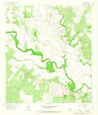
1963 Map of Charco
USGS Topo · Published 1966About this map
The San Antonio River carves a deep, winding path through this corner of Goliad County, defining a landscape of riparian woodland and active energy extraction in the early 1960s. The settlement of Charco and the nearby Angel City serve as anchors for a region where cattle ranching and the oil industry overlap, evidenced by the numerous Drill Holes and Gas Wells scattered across the Cabeza Creek Oil Field and Charco Southeast Gas Field. For family historians, the presence of the John Pettus Cem, Lost Pettus Cem, and San Jacinto Cem provides significant genealogical reference points near the riverbanks.
Find a feature on this map
26 named features on this map. Tap any name to fly to it.
Don’t see what you’re looking for? This feature index may not catch every label — zoom into the map to look around manually.
Map Details
Editions of this 1963 Charco Map
2 editions found
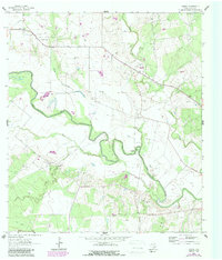
Other maps of this area

1953 · Beeville
USGS Topo · 1:250,000

1956 · Beeville
USGS Topo · 1:250,000

1960 · Beeville
USGS Topo · 1:250,000

1962 · Melo
USGS Topo · 1:24,000

1962 · Goliad
USGS Topo · 1:24,000
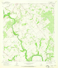
1963 · Choate
USGS Topo · 1:24,000

1963 · Lazy F Ranch
USGS Topo · 1:24,000

1963 · Weesatche
USGS Topo · 1:24,000
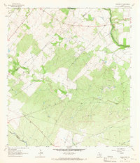
1963 · Berclair NW
USGS Topo · 1:24,000

1963 · Berclair
USGS Topo · 1:24,000