
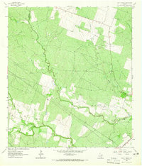
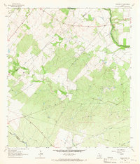
1963 Map of Lazy F Ranch
USGS Topo · Published 1965About this map
Blanco Creek winds through the heart of this South Texas landscape, defining the county line between Bee and Goliad counties. The 1960s terrain is characterized by a network of drainage systems including Medio Creek, Indian Creek, and Millers Creek, which cut through the undulating ranch lands. Local development is centered around the Lazy F Ranch, which includes a dedicated Landing Area for private aviation.
Find a feature on this map
15 named features on this map. Tap any name to fly to it.
Don’t see what you’re looking for? This feature index may not catch every label — zoom into the map to look around manually.
Map Details
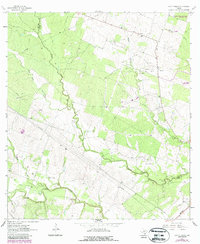
Editions of this 1963 Lazy F Ranch Map
Other maps of this area

1936 · Pettus
USGS Topo · 1:62,500

1953 · Beeville
USGS Topo · 1:250,000

1954 · Skidmore
USGS Topo · 1:62,500

1954 · Fleming
USGS Topo · 1:62,500

1956 · Beeville
USGS Topo · 1:250,000

1956 · Pettus
USGS Topo · 1:62,500

1960 · Beeville
USGS Topo · 1:250,000
1963 · Tuleta
USGS Topo · 1:24,000
1963 · Tulsita
USGS Topo · 1:24,000
1963 · Berclair NW
USGS Topo · 1:24,000