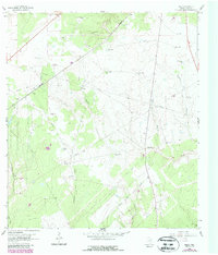
1962 Map of Melo
USGS Topo · Published 1987About this map
Sarco Creek and its many tributaries, including Arroyuella and Martinez Creek, define this rural South Texas landscape during the early 1960s. The area is characterized by a sparse, ranch-based settlement pattern, with family names attached to the landscape via markers like the Bissett Ranch, Chip Ranch, and the Melo Ranch. The small community of Melo sits in the northern reaches of the quadrangle, while the Sarco Cem provides a genealogical anchor near the creek of the same name.
Find a feature on this map
37 named features on this map. Tap any name to fly to it.
Don’t see what you’re looking for? This feature index may not catch every label — zoom into the map to look around manually.
Map Details
Editions of this 1962 Melo Map
3 editions found
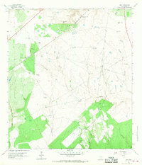
Other maps of this area

1953 · Beeville
USGS Topo · 1:250,000

1954 · Skidmore
USGS Topo · 1:62,500

1954 · Refugio
USGS Topo · 1:62,500

1956 · Beeville
USGS Topo · 1:250,000

1960 · Beeville
USGS Topo · 1:250,000

1962 · Live Oak Lake
USGS Topo · 1:24,000

1962 · Melo
USGS Topo · 1:24,000

1962 · Hensley Lake
USGS Topo · 1:24,000

1962 · Goliad
USGS Topo · 1:24,000

1963 · Berclair
USGS Topo · 1:24,000