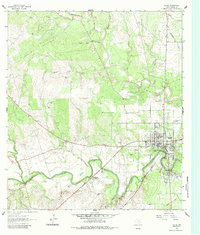
1962 Map of Goliad
USGS Topo · Published 1984About this map
Historical remnants along the San Antonio River define this corner of south Texas, where the ruins of Mission Nuestra Senora del Rosario and Presidio La Bahia stand as markers of Spanish colonial influence. The town of Goliad is depicted as a central hub, flanked by the Southern Pacific railroad and the river’s winding course. This 1962 field-checked survey reveals a landscape of transition, from the structured blocks of the town center near the High Sch and Athletic Field to the rolling terrain marked by numerous Quarries and winding drainages like Manahuilla Creek and Cabeza Creek. Several family and community burial grounds, including Lott Cem, Wesley Cem, and the larger Glendale Cem, offer valuable data for genealogists. The proximity of Goliad State Park to the historic presidio highlights the region's early preservation of its complex frontier legacy.
Find a feature on this map
34 named features on this map. Tap any name to fly to it.
Don’t see what you’re looking for? This feature index may not catch every label — zoom into the map to look around manually.
Map Details
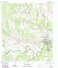
Editions of this 1962 Goliad Map
Other maps of this area

1953 · Beeville
USGS Topo · 1:250,000

1956 · Beeville
USGS Topo · 1:250,000

1960 · Beeville
USGS Topo · 1:250,000

1962 · Live Oak Lake
USGS Topo · 1:24,000

1962 · Melo
USGS Topo · 1:24,000

1962 · Hensley Lake
USGS Topo · 1:24,000

1962 · Goliad
USGS Topo · 1:24,000

1963 · Weesatche
USGS Topo · 1:24,000

1963 · Berclair
USGS Topo · 1:24,000
1963 · Runge SE
USGS Topo · 1:24,000